
Forest and land fires in South Sumatra reach 305.4 hectares up to May 2026
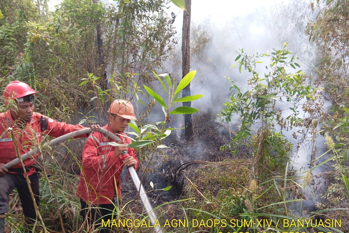
The Sumatra Regional Forest and Land Fire Control Centre has recorded that forest and land fires in South Sumatra reached 305.4 hectares in the period from January to May 2026. Head of the centre Ferdian Kristanto stated in Palembang on Monday that based on satellite imagery analysis, the burned area is spread across 12 regencies and cities in South Sumatra. The largest fires occurred in Muara Enim Regency at 55.2 hectares, followed by Ogan Komering Ulu at 54.5 hectares and North Musi Rawas at 53.2 hectares. Fires were also recorded in Musi Banyuasin covering 36.4 hectares, Ogan Ilir and South OKU each at 27.5 hectares, and Ogan Komering Ilir at 23.1 hectares. Banyuasin Regency recorded 9.4 hectares, Lahat Regency six hectares, Penukal Abab Lematang Ilir 5.9 hectares, Prabumulih City 4.8 hectares, and East OKU Regency 1.9 hectares. Of the total burned area, only 1.1 hectares occurred on peatland, all in Muara Enim, while the remaining 304.3 hectares were on mineral soil. According to the Forest and Land Fire Control Information System, five areas in South Sumatra have not recorded any fires so far this year: Lubuklinggau City, Musi Rawas Regency, Palembang City, Empat Lawang Regency, and Pagar Alam City. Ferdian added that the 2026 fire data remains provisional and may change following updated monitoring and field verification. Compared to the same period in previous years, the burned area has increased from 43.1 hectares in 2025 and 184.1 hectares in 2024, but remains below high-incident years such as 2023 with 1,046.2 hectares, 2022 with 1,977.7 hectares, and 2020 with 626.7 hectares. The centre continues to coordinate with local governments, the Manggala Agni fire brigade, the military, police, and other stakeholders to strengthen prevention and control efforts ahead of the peak of the 2026 dry season.