
For the First Time, Israel Releases Map of Southern Lebanon Under Its Control
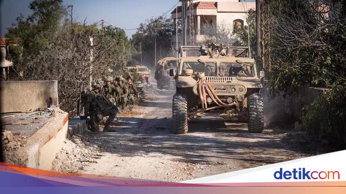
Israel’s military has for the first time published a map of southern Lebanon, displaying new deployment lines for its troops in the neighbouring country. The Israeli version of the map places dozens of villages in Lebanon under its control.
The map, as reported by Reuters and Al Arabiya on Monday (20/4/2026), was released a few days after a ceasefire between Israel and Lebanon, mediated by the United States (US), came into effect. This 10-day ceasefire aims to stop the fierce fighting between Tel Aviv and the Iran-backed Hezbollah group based in the country.
Lebanon was drawn into the Middle East war since 2 March, after Hezbollah launched attacks on Israeli territory.
Since then, a series of Israeli airstrikes has killed more than 2,000 people and caused over one million people to flee in Lebanon. Tel Aviv has also deployed ground forces to southern Lebanon, near its border area.
There has been no direct comment from Lebanese officials or Hezbollah regarding the release of Israel’s map.
The ceasefire agreement, announced following direct talks between Israel and Lebanon on 14 April, is intended to allow for broader US-Iran negotiations, but with Israeli forces maintaining their positions deep inside southern Lebanon.
Stretching from east to west, the deployment line in Israel’s map extends 5-10 kilometres from the border area into Lebanon, where Tel Aviv says it plans to establish what it calls a buffer zone.
Israeli forces have destroyed villages in Lebanon that fall within their deployment area, stating that their goal is to protect cities in northern Israel from Hezbollah attacks.
They have previously established buffer zones in Syria and the Gaza Strip, where they control more than half of the Palestinian enclave.
“Five divisions, along with Israeli Navy forces, are operating simultaneously in the area south of the front defence line in southern Lebanon to dismantle Hezbollah terrorist infrastructure sites and to prevent direct threats to the population in northern Israel,” the Israeli military said in a statement accompanying the map’s publication.
Israel’s Defence Minister, Israel Katz, said on Sunday (19/4) that homes on the border used by Hezbollah would be destroyed and that “every building threatening our military and every road suspected (of being planted with) explosives must be immediately destroyed”.