
Flores fault historically produced several destructive earthquakes
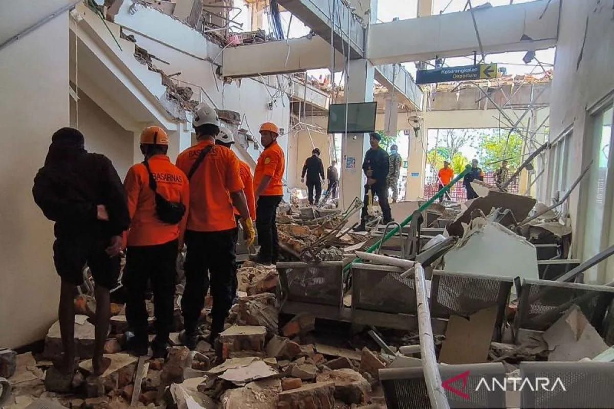
The affected area is also located in a medium to high category earthquake disaster-prone zone.
Bandung (ANTARA) - The Geological Agency of the Ministry of Energy and Mineral Resources (ESDM) has revealed that besides the magnitude 7.7 earthquake on Saturday morning, the fault associated with this earthquake has historically produced several destructive earthquakes, some of which even triggered tsunamis.
Head of the Geological Agency Lana Saria explained that based on source parameters, this earthquake is associated with the Flores Back-Arc Thrust, which extends along the northern sea of the Nusa Tenggara Islands and is divided into several segments.
“Historically, this structure has repeatedly produced destructive earthquakes, some of which even triggered tsunamis. We have recorded, among others, the North Flores event in 1961, Flores in 1992, Solor in 1982, and Manggarai in 2003,” said Lana in Bandung on Saturday.
Thus, she said, today’s event does not stand alone but is part of regional tectonic activity that we must continue to be vigilant about.
Lithologically, this area is composed of Tertiary-aged volcanic rocks and Quaternary-aged sedimentary rocks.
Based on site condition data or Vs30, the area around the affected region consists of soil classes ranging from very dense and soft rock to soft soil. Under certain conditions, such soil characteristics can amplify shaking response.
“On the other hand, the affected area is also located in a medium to high category earthquake disaster-prone zone,” she said.
An intensity of approximately VI MMI is estimated to still be felt as far as East Manggarai Regency to the west and Sikka Regency to the east.
“This information is important for directing field inspection priorities, especially in areas estimated to have received the strongest shaking,” she said.
The Geological Agency of the Ministry of ESDM identified the 7.7 magnitude earthquake in East Nusa Tenggara today, which has produced secondary hazards that need to be anticipated, ranging from ground movement to liquefaction.
“All these indications need to be further verified in the field so that we obtain a complete picture of the series of geological impacts from this event,” she said.
As a follow-up, Lana said, the Geological Agency of the Ministry of ESDM will dispatch an Earthquake Disaster Emergency Response Investigation Team to the affected location.
The team will conduct a rapid assessment to verify field conditions, deepen the analysis, and formulate technical mitigation recommendations.
“The results of this investigation will subsequently be conveyed to local governments and policymakers as a basis for emergency handling and further mitigation measures,” she said.
As for the public and stakeholders, the Geological Agency urges the public to remain calm, follow the instructions of the Regional Disaster Management Agency (BPBD) and local government, and be alert to aftershocks. And not to trust information that cannot be accounted for.
The public also, she added, needs to check the condition of buildings before reusing them, comply with evacuation signs and routes, and avoid cliff areas that have the potential for landslides, especially during rain.
“Going forward, the application of earthquake-resistant building standards must become an important part of mitigation efforts in vulnerable areas,” she said.