
Fishermen Unaware as Megathrust Earthquake Triggers 15-Metre Tsunami Sweeping Coastlines
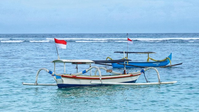
The event that occurred in the Banda Sea 397 years ago remains profoundly shocking. While out at sea, fishermen did not report any unusual signs in the water; however, upon attempting to return to shore, the Banda coastline had been transformed into a disaster zone following a 15.3-metre tsunami.
This event took place on 1 August 1629. The tsunami was triggered by an M8.3 megathrust earthquake that shook the Banda Sea, marking one of the largest natural disasters ever recorded in Indonesian history. According to Wichmann’s research in ‘Die erdbeban des indischen archipels von 1858 bis 1877’ (1901), the tsunami waves moved westward, striking Fort Nassau in Banda Naira and several coastal villages.
The resulting destruction was immense. Coastal houses were destroyed, trees were uprooted, and the once-sturdy Fort Nassau was nearly submerged. Even the stone breakwaters were obliterated by the force of the waves. “The stone breakwater built in front of the fort was destroyed by the water. The waves entered the fort and dragged an iron chunk weighing 1,558 kilograms for a distance of 11.3 metres,” Wichmann wrote.
Earthquake tremors were felt as far as Ambon, approximately 230 kilometres from the epicentre, though there are no records of a tsunami hitting that specific area. Due to the scarcity of historical records, reconstructing the exact details of the event remains difficult. It was only centuries later that scientists Zac Yung-Chun Liu and Ron A. Harris successfully reconstructed the likely causes of the disaster through earthquake and tsunami simulations.
In their 2013 research, titled ‘Discovery of possible mega-thrust earthquake along the Seram Trough from records of 1629 tsunami in eastern Indonesian region’, the duo concluded that the 1629 Banda earthquake was indeed a megathrust event. The earthquake was triggered by the collision of the Indo-Australian Plate and the Eurasian Plate at the Banda subduction zone, specifically south of Seram Island. Through mathematical calculations, researchers from Brigham Young University estimated that aftershocks continued for nine years following the main event.
“The direction of the incoming waves and the fact that no tsunami was recorded in Ambon helped narrow down the possible location of the earthquake source,” they stated in their journal.
Subsequent research into the Banda Sea has revealed that similar threats recurred for several years after 1626. The most devastating occurred 50 years later, when Ambon was hit by a massive tsunami that claimed at least 2,000 lives. According to 2016 research on the ‘Rolling open Earth’s deepest forearc basin’, this is due to the Weber Deep, which reaches a depth of approximately 7,400 metres. Its location at the junction of the Indo-Australian and Eurasian Plates means tectonic activity in the Banda Sea has the potential to trigger major earthquakes and tsunamis.
Simulations suggest that tectonic activity in the Banda Sea could trigger a tsunami of approximately 7.7 metres, with eastern Seram Island expected to be the first area affected. However, regardless of how advanced current technology becomes, earthquakes capable of triggering tsunamis cannot yet be predicted with absolute certainty. Therefore, the best way to coexist with nature is to strengthen mitigation efforts and increase vigilance to minimise the impact of such disasters.