
Fire on Mount Lawu’s Slopes Spreads Towards Hiking Route
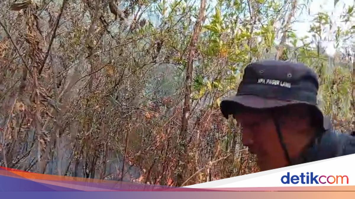
A forest and land fire has broken out on the slopes of Mount Lawu in Karanganyar, Central Java. The blaze, which first appeared in Gondosuli village, Tawangmangu, has spread towards the Tambak hiking route and is heading towards Ngargoyoso district.
“The fire is quite large and is heading towards the Tambak route in Ngargoyoso, and may nearly reach Post 4. The fire on the Tambak route is likely to be heading there. Yes, it may be moving towards Ngargoyoso,” said Sugiharjo, acting head of the Karanganyar Regional Disaster Management Agency (BPBD), as reported by detikJateng on Monday (19 October 2026).
Aerial water-bombing operations were also conducted during the day. Ground volunteers were kept on standby at the command post during the operation, as it would be extremely dangerous for anyone to be in the area while water-bombing was under way.
“There were two water-bombing operations. The first was initially postponed because the weather was very unfavourable. The operation was then carried out at around 2.30pm Western Indonesian Time,” he said.
Meanwhile, Basarnas team leader Iwan Agus Riyanto said his team had used a drone to monitor the area and found 10 hotspots. The fire is spreading towards Cemoro Kandang, although the total area burned is still being assessed.
“Basarnas’s thermal drone detected 10 hotspots at 4pm local time this afternoon. They were located from the west towards the north, while those from the north towards the west had not yet been seen,” Agus said.
“Compared with this morning, when at 6am we reported nine hotspots, one more had been detected by this afternoon, bringing the total to 10,” he added.
Source: jawawa.id (https://jawawa.id/newsitem/fire-on-mount-lawus-slopes-spreads-towards-hiking-route-1792428662)
Originally published by detikcom (https://news.detik.com/berita/d-8714745/lereng-gunung-lawu-kebakaran-api-meluas-ke-arah-jalur-pendakian), translated from Indonesian