
Fire Extinguished, Climbers Can Return! Senaru Trail of Mount Rinjani Reopened
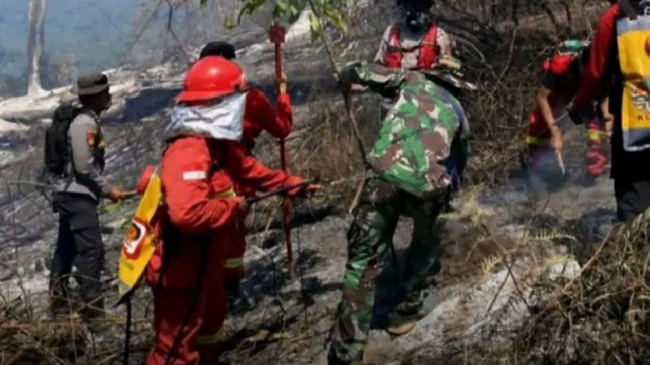
Good news for Mount Rinjani climbers. The Senaru climbing route in North Lombok Regency, West Nusa Tenggara (NTB), has reopened after previously being closed due to forest fires.
The Mount Rinjani National Park (TNGR) Authority has ensured that the route is safe for use again following the fire suppression process, evaluation, and assessments conducted alongside various stakeholders.
The Head of the Administrative Sub-division of the TNGR Authority, Astekita Ardiarsito, stated that the Senaru climbing route reopened starting Saturday (3/10/26).
“The Senaru climbing route is reopened,” he said.
The reopening was carried out after officials ensured that the fire had been extinguished. Inspections were also conducted on various climbing facilities and infrastructure to ensure the safety and security of visitors.
For tourists intending to climb via the Senaru route, the registration process must still be completed online. “Tourists planning to climb can register online through the eRinjani application,” he added.
With the resumption of operations on the Senaru route, there are now five climbing routes within the Mount Rinjani National Park area operating. These five routes are Sembalun, Senaru, Tibanuh, Tetebatu, and Aik Berik.
Previously, fires hit the Senaru and Torean climbing route areas. The fire burnt various vegetation, including mountain pines, shrubs, bushes, grass, mountain savannah, dry leaves, and other undergrowth.
Based on preliminary monitoring up to (29/9/26), the area affected by the fire reached 1,098.75 hectares. “Based on preliminary monitoring up to (29/9/26), the affected area reached 1,098.75 hectares, and there are no new or expanding fire spots,” he said.
However, this figure remains provisional. Officials are still conducting monitoring to confirm the total area affected by the fire.
“The figure is still a preliminary estimate and will be updated based on field monitoring, drone documentation, and verification of area boundaries,” he noted.
Monitoring was also conducted using drones from a distance of approximately 350 metres. From the monitoring results, the remaining visible fire spots consisted of standing trees that had previously been burnt.
This condition is described as isolated and does not show any fire spread. “The team remains on alert to anticipate any re-ignition. Supervision has been strengthened through patrols and inspections of belongings,” he concluded.