
ESDM Reports Increased Seismic Activity at Mount Karangetang
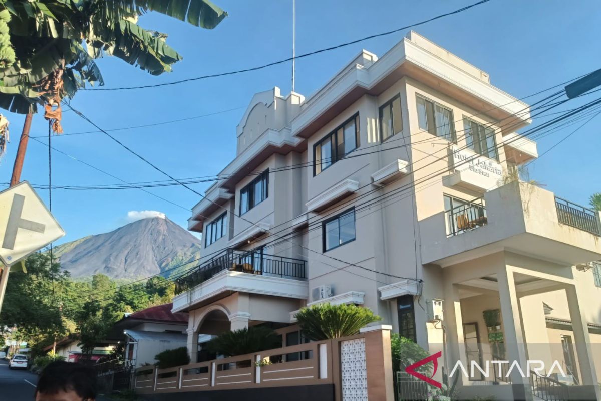
Manado (ANTARA) - The Geological Agency of the Ministry of Energy and Mineral Resources (ESDM) has stated that seismic activity at Mount Karangetang in the Sitaro Islands Regency, North Sulawesi, has experienced an increase.
“During the period of 1-10 June 202 फीसद, two rockfall earthquakes, 44 inflation earthquakes, 20 harmonic tremors, 47 non-harmonic tremors, and six hybrid/multi-phase earthquakes were recorded,” said Acting Head of the Geological Agency, Lana Saria.
This statement was shared in a special report within the Sitaro Volcano Info discussion group in Manado on Sunday.
She added that 20 shallow volcanic earthquakes, 100 deep volcanic earthquakes, one local tectonic earthquake, nine earthquakes felt on the I-IV MMI scale, and 143 distant tectonic earthquakes were also recorded.
The report noted that on 11 June 2026, volcanic activity at Mount Karangetang increased significantly, particularly with 70 recorded deep volcanic earthquakes, while other types of earthquakes did not show an increase.
On the following day (12 June 2026), seismicity showed changes, with 16 distant tectonic earthquakes, two local tectonic earthquakes, 15 deep volcanic earthquakes, eight shallow volcanic earthquakes, three inflation earthquakes, 10 hybrid/multi-phase earthquakes, and one rockfall earthquake recorded.
On 13 June 2026, data recorded 11 distant tectonic earthquakes, two felt earthquakes, four local tectonic earthquakes, 19 deep volcanic earthquakes, and six shallow volcanic earthquakes.
The records also included 15 hybrid earthquakes, 10 rockfall earthquakes, seven inflation earthquakes, 11 non-harmonic tremors, and one harmonic tremor.
This increase in seismicity has not been accompanied by visual anomalies, with the smoke column height remaining at approximately 20 metres, and no other significant visual changes observed.
Based on the recorded seismic data, the volcanic activity of Mount Karangetang indicates that a process of magma supply movement from the deep interior towards the shallow parts is occurring.
This is characterised by the increase in shallow volcanic earthquakes, as well as hybrid/multi-phase earthquakes, reflecting fluid movement at the surface that disturbs the equilibrium of the lava dome, leading to rockfall earthquakes.
The emergence of shallow volcanic, hybrid, and rockfall earthquakes following the increase in deep volcanic earthquakes indicates that the volcano is moving towards a lava dome formation phase or towards an eruption.
This increase in seismicity must be monitored closely given the potential hazards of Mount Karangting, which include magmatic eruptions and pyroclastic flows descending into the valleys from the north or south crater centres.
It was also noted that there is a potential for effusive eruptions, a characteristic feature of Mount Karangetang, where lava domes or lava flows out and descends into the valleys.
Due to the increase in seismicity and the occurrence of incandescent lava rockfalls, the public is advised not to enter or conduct activities within a 1.5-kilometre radius of the north and south craters, and within a 2.5-kilometre radius of the south-western and southern sectors of the south crater.
The public is expected to remain calm and adhere to the recommendations issued by the Geological Agency through the Centre for Volcanology and Geological Hazard Mitigation, and to avoid being swayed by false or irresponsible news regarding the activity of Mount Karangetang.