
El Niño Splits the World: Some Face Drought While Others are Besieged by Floods
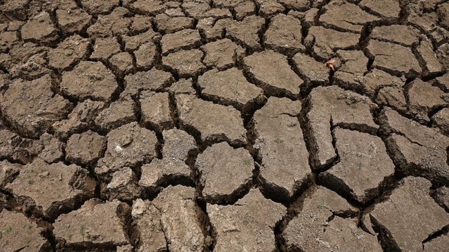
El Niño is frequently associated with drought, decreased food production, and forest fires. However, this same phenomenon can also increase the risk of heavy rain and flooding in other parts of the world.
These differing impacts occur because El Niño alters the location where warm seawater accumulates in the Pacific Ocean. This shift subsequently changes air movement, cloud formation, and rainfall distribution thousands of kilometres away from its centre.
This phenomenon has returned to the spotlight as El Niño strengthens this year. In a report on 22 September 2026, the UK’s Met Office stated that sea surface temperatures in the central equatorial Pacific have exceeded levels recorded during previous El Niño events. The phenomenon is still expected to develop towards its peak by the end of the year.
How, then, can a single phenomenon cause some regions to suffer from water shortages while others face flooding?
Warm water determines rainfall. According to explanations from The Conversation, under normal conditions, trade winds in the tropical Pacific blow from east to west. These winds push warm seawater towards the western Pacific, including the waters around Indonesia. Meanwhile, in the eastern Pacific, colder water from deeper ocean layers rises to replace the surface water pushed westward. This process, known as upwelling, generally makes waters near South America colder than those around Indonesia.
Warm seawater increases evaporation and warms the air above it. This warm, moist air then rises, expands, and cools. The water vapour within it condenses into clouds that can produce rain. This is one reason why Indonesia and the western Pacific region receive much rain, while the coast of Peru on the eastern side of the Pacific is generally much drier.
In the upper atmosphere, the rising air then spreads, partially moving east and descending over cooler waters. Near the surface, the air flows back west as trade winds. This sequence of air movement is known as the Walker Circulation, which connects ocean conditions with rainfall patterns in the tropical Pacific region.
When El Niño occurs, the trade winds weaken. The drive that usually accumulates warm water around Indonesia also decreases, causing more warm water to reside in the central and eastern Pacific. Consequently, the centre of evaporation, rising air, and cloud and rain formation shifts eastward.
As a result, parts of the eastern Pacific and surrounding areas, including the coast of Peru, may receive higher rainfall than usual. If the rain is very heavy, the risk of flooding increases. Conversely, in the western Pacific, including Indonesia, air tends to move downwards more frequently. Descending air warms and inhibits the formation of rain clouds, leading to drier conditions.
A reduction in rainfall can also increase the risk of forest and land fires, especially when vegetation and peatlands lose moisture. Strong El Niño events in 1997 and 2015 were linked to massive fires in Indonesia.
This shift also reduces the temperature difference between the western and eastern Pacific. The air pressure difference that drives the trade winds also weakens, causing changes in the ocean and atmosphere to mutually reinforce the development of El Niño. Thus, drought and heavy rain in different regions are impacts of the same systemic change: the shift of the warm water centre and rainfall formation.
The impact spreads globally. The influence of El Niño does not stop at countries bordering the Pacific Ocean. These changes can spread through long-distance connections in the atmospheric system, known as teleconnections. When water vapour condenses into clouds, heat is released into the atmosphere. The shift in the centre of cloud formation during El Niño also moves the location of this heat release, affecting atmospheric temperatures in much wider regions.
As an illustration of tropical atmospheric conditions, NOAA data shows a standardised temperature anomaly at the 500 hPa pressure level, averaged across the 20°N-20°S region, reaching 3.30 standard deviations in August 2026. This value indicates temperatures above the reference average, rather than an increase of 3.30°C. This data does not separate the influence of El Niño from other factors affecting atmospheric temperature.
In regions such as the Sahel, south of the Sahara Desert, the warming of the middle and upper atmospheric layers can make it harder for moist air near the surface to continue rising. The formation of rain clouds is thus inhibited, leading to drier conditions. Additionally, changes in the Pacific rainfall centre can trigger atmospheric waves that alter wind patterns and storm tracks far from their origin.
The Met Office noted that El Niño could increase the chances of wetter and stormier weather in the UK from autumn to early winter. Towards the end of winter, the chance of cold periods may also increase, although the influence depends on other atmospheric factors.
While increasing the risk of drought in several regions, El Niño does not mean that rain stops entirely. This phenomenon changes weather tendencies on a large scale, while daily rainfall remains influenced by various atmospheric systems. Therefore, regions that generally experience a decrease in rainfall can still face heavy rain, and even flooding, at specific times and locations.
For Indonesia, this distinction is vital for assessing risk. The threats of drought, reduced water supply, and land fires must still be anticipated, without ignoring the possibility of extreme weather when atmospheric conditions support rainfall formation. In the context of food security, the impact also depends on the location and timing of the event.
Source: jawawa.id (https://jawawa.id/newsitem/el-nino-splits-the-world-some-face-drought-while-others-are-besieged-by-floods-1790754956)
Originally published by CNBC Indonesia (https://www.cnbcindonesia.com/research/20260930100924-128-772033/el-nino-bikin-dunia-terbelah-ada-yang-kekeringan-dikepung-banjir), translated from Indonesian