
El Niño Predicted to Reach 'Very Strong' Intensity by October-November 2026
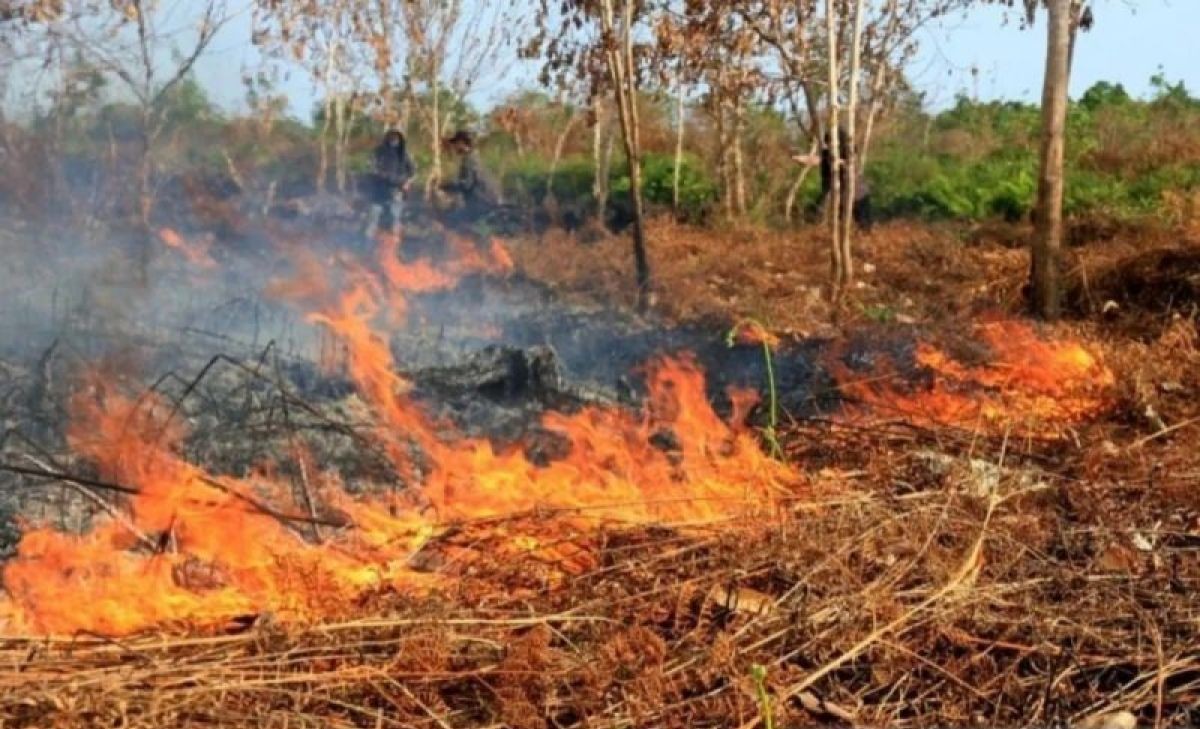
The Meteorology, Climatology and Geophysics Agency (BMKG) has warned that Indonesia faces a growing threat of forest and land fires (karhutla) in the coming months as the El Niño phenomenon strengthens and is predicted to reach a ‘very strong’ category by October to November 2026. BMKG Deputy for Weather Modification Tri Handoko Seto stated that El Niño is currently at a moderate level, with sea surface temperature anomalies in the Niño 3.4 region reaching 1.4 degrees Celsius. However, the phenomenon is forecast to intensify from July and peak between October and November. “This year there is an El Niño, which has been definitively detected today, with predictions it will be strong in the following months. So we must be highly vigilant this year,” Tri said during a coordination meeting on forest and land fire management on Thursday (18/6). According to him, the temperature anomaly in the Pacific Ocean is expected to rise to nearly 2 degrees Celsius in July, indicating a strong El Niño. This condition will continue through August and September before reaching a very strong level in October and November, with anomaly values exceeding 3 degrees Celsius. Simultaneously, the Indian Ocean Dipole (IOD) phenomenon is predicted to turn positive. This condition causes Indonesian waters to become cooler, reducing the formation of rain clouds and making the weather increasingly dry. “The two effects from the Pacific and Indian Oceans will cause Indonesia’s rainfall to decrease from June to October,” he said. BMKG noted that currently only about 33 percent of Indonesia’s seasonal zones have entered the dry season. However, by July, almost all regions of Indonesia are expected to be in the dry season. Areas requiring special attention are regions prone to forest and land fires, such as South Sumatra, Jambi, Riau, Central Kalimantan, and South Kalimantan. BMKG estimates that rainfall in these areas will begin to decrease significantly after 20 June and continue to decline until September. “In the third ten-day period after 20 June, there will be a significant decrease in rainfall in areas prone to forest and land fires,” Tri said. He explained that the peak of the dry season is expected to occur in August and September. During this period, the chance of rain cloud formation will be very small, posing major challenges for weather modification operations. “At the peak of the dry season, the opportunity for clouds may only be one to two days a week. Therefore, weather modification operations must pay close attention to predictions and careful monitoring of cloud growth,” he stated. Although the number of hotspots is currently still relatively under control, BMKG is urging all parties not to be complacent. According to Tri, the increasingly dry weather conditions starting in July have the potential to accelerate the emergence of hotspots and increase the risk of fires if there are triggers on the ground. Consequently, BMKG is encouraging early anticipatory measures through patrols, surveillance of vulnerable areas, and the utilisation of remaining rain opportunities in June and early July before entering the peak dry season and the strong El Niño period.