
Eight BTS sites restored after earthquake in Palu, says Ministry
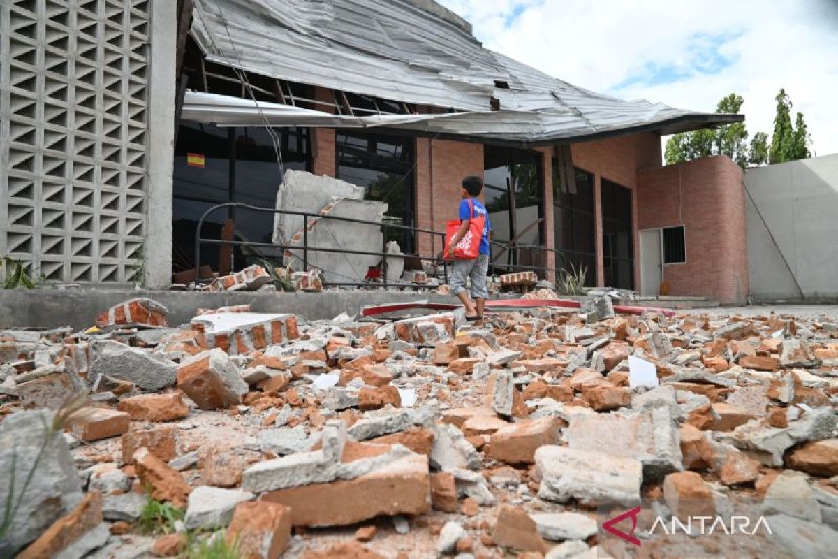
Jakarta (ANTARA) - The Ministry of Communication and Digital Affairs (Kemkomdigi) has stated that eight base transceiver station (BTS) telecommunications towers have now been restored in the Palu area of Central Sulawesi, following a magnitude 6.7 earthquake.
In a press release issued in Jakarta on Tuesday evening, the ministry said it continues to monitor and coordinate the restoration of telecommunications services after the earthquake in Palu.
According to data from the ministry’s Telecommunications Monitoring Centre (PMT) as of 15:00 WIB, 29 BTS sites out of a total of 2,601 sites, or 1.04 percent, across three affected districts and cities experienced service disruptions due to the earthquake.
Of that number, eight sites have been successfully restored, representing around 27.59 percent of the total affected sites.
The fastest recovery occurred in Palu City, where five sites are back in operation, followed by Sigi Regency with three sites. Meanwhile, the recovery process is still ongoing in Poso Regency, which has 13 affected sites.
According to reports from telecommunications operators, the disruptions were caused by transmission lines and power supply being cut off due to the earthquake’s impact.
The government, through Kemkomdigi, continues to coordinate with telecommunications operators, local governments, and related parties to accelerate service restoration across all affected areas. In addition to ensuring the continuity of telecommunications services, Kemkomdigi is also monitoring the condition of personnel and telecommunications facilities in the field.
Based on preliminary reports, there have been no reports of casualties within telecommunications facilities affected by the earthquake.
The Ministry of Communication and Digital Affairs is committed to continuing to provide updates on the network recovery process based on monitoring results and reports from telecommunications operators.
The Meteorology, Climatology and Geophysics Agency (BMKG) confirmed that the epicentre of the earthquake was located on land at coordinates 1.13 South latitude and 120.23 East longitude, precisely 42 kilometres southeast of Palu City.
“The earthquake was categorised as shallow, with a depth of 10 kilometres, but mathematical modelling indicates this seismic activity does not have the potential to trigger a tsunami,” BMKG stated in a release in Jakarta on Tuesday.
Three minutes after the main earthquake, the United States Geological Survey (USGS) also detected aftershock activity with a magnitude of 5.2, centred 44 kilometres east-southeast of Palu at the same depth.