
East Kalimantan BPBD Tightens Forest Fire Prevention Using Satellites and Public Reports
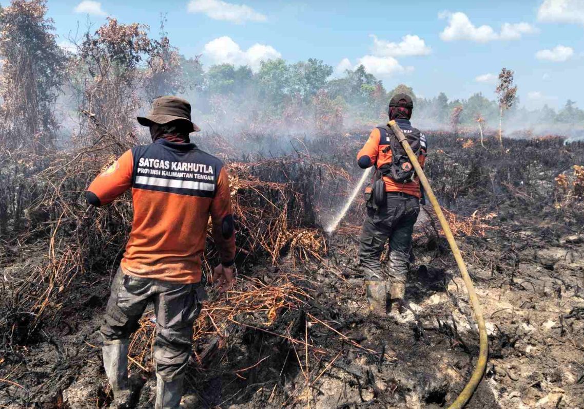
The East Kalimantan Regional Disaster Management Agency (BPBD) is tightening measures to prevent forest and land fires (karhutla) in the ‘Bumi Etam’ region. This strategy combines satellite-based hotspot monitoring with the optimisation of active community participation in early reporting from the field. ‘We want to ensure that every potential fire can be handled as early as possible before it spreads and endangers the environment,’ said Head of the East Kalimantan BPBD, Buyung Dodi Gunawan, in Samarinda on Saturday. In its surveillance, the East Kalimantan BPBD utilises a digital system belonging to the Ministry of Forestry to monitor the movement of hotspots. However, this satellite data is not used as the sole reference. Officers conduct in-depth analysis to ascertain whether a hotspot indication has developed into an actual fire spot. Buyung explained that data synchronisation between the provincial and district governments is key to execution speed. Intensive coordination is maintained with BPBDs at the regency and city levels to carry out factual validation in the field so that firefighting efforts are precisely targeted. Beyond relying on technology, the East Kalimantan BPBD emphasises the importance of direct reports from residents, particularly for reaching remote locations that are difficult for officers to monitor physically. Initial information from the public is considered highly valuable in supporting rapid response. ‘We are combining two strategic approaches. First, preventive measures through the satellite system. Second, direct public reports. If residents see a land fire, they can immediately contact Call Center 112 so the information can be quickly validated and acted upon by duty officers,’ Buyung clarified. Fire management is a priority due to its multi-sectoral impacts, ranging from respiratory health problems caused by smoke haze to threats to ecosystem sustainability and wildlife habitats. In anticipation of declining rainfall, the East Kalimantan BPBD has declared a drought disaster alert status. Although the current risk of forest and land fires is considered relatively low, this status ensures that all personnel, firefighting fleets, and mitigation systems are operationally ready. Recent reports indicate that land fires are now occurring almost daily in several areas, although the scale remains manageable at under five hectares per incident. The BPBD Data and Information Centre has mapped four regencies with the highest vulnerability levels.