
Dumaring Geosite becomes national model for ancient karst conservation
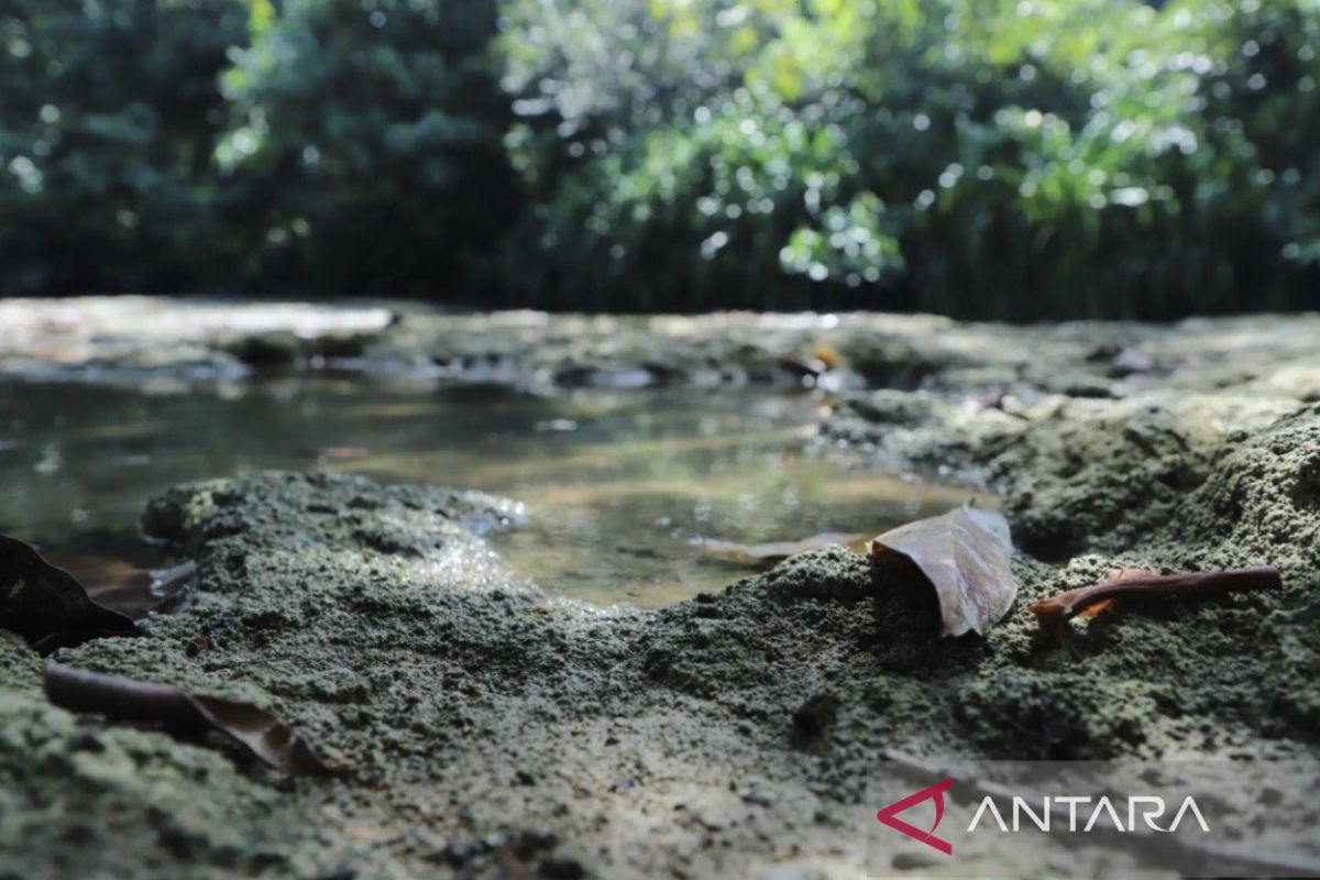
Berau (ANTARA) - The assessment team for the Sangkulirang-Mangkalihat Geopark has officially visited the Batu Gamping Dumaring Geosite in Berau Regency, East Kalimantan, to affirm the ancient karst area as a successful national showcase combining nature conservation with improving the local economy.
Nandang Muliana, Coordinator of the Dumaring Forest and River Collaboration and Conservation Programme, revealed in Berau on Friday that the limestone in this area holds exceptional scientific value, as the ancient rock is estimated to have formed between 11 million and 3 million years ago.
“The limestone here is not merely a stretch of commodity rock, but the main pillar sustaining the karst forest. This structure fully supports the chain of life of the various endemic flora and fauna within the area,” said Nandang while receiving the national assessment team.
He revealed that through the Social Forestry Business Group (KUPS), residents of Dumaring Village have successfully transformed the conservation paradigm into a source of income.
The local community actively utilises non-timber forest products sustainably through the cultivation of various rare and high-value plant seedlings, including ulin trees (ironwood native to Kalimantan), mangrove plants (guardians of the coastline) and kapok trees (producers of natural resin).
Beyond the forestry sector, Nandang continued, economic diversification has been carried out through the development of nature-based tourism destinations via the Dumaring Cave Park.
This destination promotes a unique open trip concept with three main pillars: public education on the history of the formation of the earth and caves, active environmental preservation by visitors, and thirdly, the total involvement of the local community as guides and accommodation providers. The success of the Dumaring Geosite is inseparable from the application of the multi-stakeholder or pentahelix cooperation concept.
The area’s strong foundation is built upon active synergy between the government as policy regulator, academics as providers of the scientific database, the business community which channels supporting investment, and local residents as the main actors on the ground.
“The visit of the Geopark Assessment Team is tangible proof that the ideal geopark concept does not focus solely on rigidly protecting geological heritage,” said Nandang.