
Disaster Mitigation: BIG and NTU Collaborate to Develop Geospatial Technology
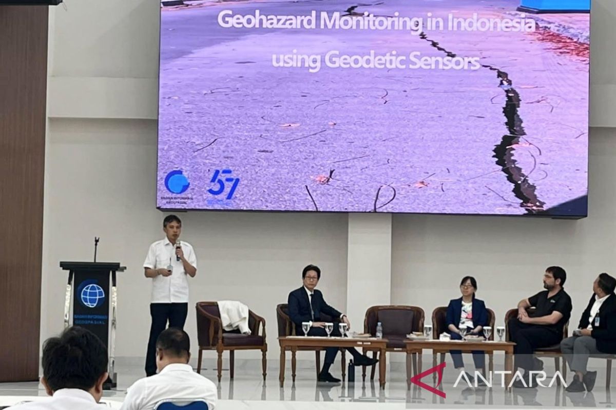
The Indonesian Geospatial Information Agency (BIG) and Nanyang Technological University (NTU) Singapore are developing the use of geospatial observation technology to strengthen disaster risk mitigation in Indonesia.
Speaking in Cibinong, Bogor Regency, on Monday, BIG’s Director of Geospatial Reference Systems, Moh. Fifik Syafiudin, stated that cooperation with universities and research institutions is essential to increase the effectiveness of disaster mitigation. “The core spirit is the same: to make disaster mitigation more effective and efficient, we must strengthen cooperation with various parties,” said Fikif.
According to him, the collaboration between BIG and NTU, through the Earth Observatory of Singapore (EOS), includes technology development as well as the exchange of knowledge and experience regarding disaster monitoring. He explained that every disaster has different characteristics, requiring different mitigation approaches, whether for disasters caused by ground movement or those resulting from climate change and hydrometeorological factors.
One of the infrastructures utilised by BIG for such observations is the Indonesian Continuously Operating Reference Station (Ina-CORS). By 2026, BIG will manage 476 Ina-CORS stations distributed across various regions of Indonesia. The Ina-CORS network, originally developed to support surveying, mapping, and providing positioning information, is now also being utilised for monitoring earthquakes, volcanic activity, land subsidence, and landslides.
NTU’s Remote Sensing Laboratory Director, Sang Ho Yun, explained that Global Navigation Satellite System (GNSS) data from the CORS network possesses high precision and accuracy, making it highly effective for supporting disaster monitoring. The collaboration also integrates GNSS data with Interferometric Synthetic Aperture Radar (InSAR). While GNSS serves as a reference for absolute measurement, InSAR is used to observe relative surface changes, allowing the two technologies to complement each other.
Sang Ho Yun noted that while the processed results from the collaboration can be made available to the public, not all raw data can be published due to confidentiality agreements between the collaborating parties. “We may release the data, but only the processed data will be opened to the public,” he said.
In addition to Ina-CORS, BIG operates 290 tide gauge stations within the Ina-Tides network to strengthen the observation of sea-level changes, including providing data on sea-level responses following earthquake and tsunami events.