
Devastating M 7.7 Earthquake in Philippines Triggers Tsunamis in Indonesia
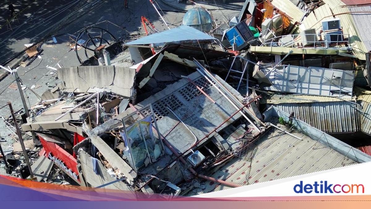
A massive magnitude (M) 7.7 earthquake struck the Philippines early this morning, triggering tsunamis in several regions of Indonesia. The earthquake occurred on Monday (8/6/2026) at 06:37 WIB in the South Coast of Mindanao, Philippines. The epicentre was located at coordinates 5.80°N; 125.14°E, in the sea approximately 244 km northwest of Karatung Island, North Sulawesi, at a depth of 47 km.
The Head of BMKG, Teuku Faisal Fathani, stated in a virtual press conference that BMKG issued four early warnings regarding the earthquake. BMKG reported that nine areas were hit by minor tsunamis following the quake, including: 9 cm in Loloda, North Maluku; 18 cm in Ulu Siau, North Sulawesi; 32 cm in Melonguane, North Sulawesi; 30 cm in Tahuna, Sangihe Islands; 45 cm in Paleleh, Central Sulawesi; 32 cm in Tanjung Sidupa, North Sulawesi; 29 cm in Bitung, North Sulawesi; 14 cm in Ternate, North Maluku; and 75 cm in Talengan, Sangihe Islands, North Sulawesi.
BMKG also recorded several aftershocks, beginning at 07:11 WIB with a magnitude 5.9, followed by a 5.7 magnitude quake, and later a 6.0 magnitude tremor. The early warning was officially lifted at 10:15 WIB, allowing search and rescue teams from Basarnas, BPBD, BNPB, TNI, and Polri to begin evacuations in affected areas.
The North Sulawesi Regional Disaster Management Agency (BPBD) reported that 53 buildings sustained light to heavy damage. The Head of BPBD North Sulawesi, Adolf Tumengkel, noted that the most significant damage occurred in the Sangihe Islands Regency, with 39 buildings affected, including 34 houses, two churches, one mosque, one school, and one official residence. In the Talaud Islands Regency, 13 buildings were damaged, including 11 houses, one hospital, and one pier warehouse. Damage was also reported in North Minahasa, specifically one school building in Maliambao Village.
In the Philippines, the death toll from the Mindanao earthquake has risen to at least 32 people, with over 100 others injured. At least 13 of the deceased were buried in landslides in the coastal town of Glan, Sarangani province. The earthquake, initially reported as M 7.7 but later updated to M 7.8, struck near General Santos City. According to US Geological Survey (USGS) data, this is the strongest earthquake to hit the Philippines since 1976 and the strongest globally in 2026. Social media footage showed a shopping mall collapsing in General Santos City. Philippine President Ferdinand Marcos has suspended classes across Mindanao and urged coastal residents to evacuate immediately.