
Dengue Fever Remains a Threat in Indonesia, UMY Expert Proposes Spatial Analysis Solution
Dengue Hemorrhagic Fever (DHF) remains a persistent public health challenge in Indonesia. Current control efforts, including mosquito nest eradication, fogging, and patient treatment, are proving insufficient. Scientific advancements now indicate that dengue management requires a more specific approach tailored to the conditions of each region.
Professor Tri Wulandari Kesetyaningsih, a parasitology expert at Universitas Muhammadiyah Yogyakarta (UMY), introduced such an approach during a scientific oration titled ‘Spatial Analysis of Dengue Hemorrhagic Fever Incidence Based on Geographically Weighted Regression in the Perspective of Vector Ecology’ in Yogyakarta on Saturday (13/6).
According to Prof. Tri, controlling DHF is no longer adequate if it solely focuses on treating patients. Prevention efforts must also be supported by an understanding of the disease’s distribution patterns based on regional characteristics.
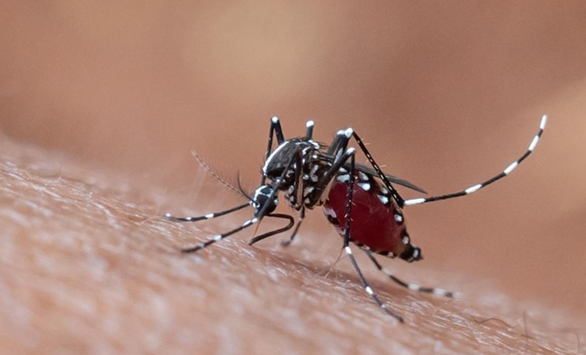
One of the biggest challenges in controlling DHF is its uneven distribution pattern. Adjacent areas can experience different numbers of cases and outbreak timings. These differences are influenced by various local factors, including environmental conditions, population density, sanitation levels, and the presence of breeding sites for the Aedes aegypti mosquito, the vector for the dengue virus.
‘In various regions, we witness that neighbouring areas can have different levels of dengue incidence. Even across different periods, the affected areas can change,’ Prof. Tri stated. This indicates that DHF risk factors are highly localised, making uniformly applied control policies less effective in addressing the dynamics of the disease’s spread.
To understand the variations in DHF cases across different areas, Prof. Tri employs the Geographically Weighted Regression (GWR) method. This spatial analysis technique allows researchers to map the relationship between DHF cases and local geographical and environmental conditions. Unlike conventional statistical methods that typically provide an average overview of a region, GWR produces a more detailed analysis tailored to the specific conditions of each area.
Through this method, the factors most influential in the emergence of DHF cases can be identified more accurately at specific locations. The resulting data is also more specific and contextual, providing a clearer picture of field conditions. This analysis can assist local governments and health agencies in determining areas with the highest risk levels. Consequently, various control programmes, such as the distribution of health logistics, budget allocation, and fogging operations, can be implemented with greater precision.
Furthermore, Prof. Tri emphasised the importance of cross-disciplinary collaboration in tackling future DHF challenges. She noted that controlling this disease requires the involvement of various fields, including public health, epidemiology, climatology, and digital mapping technology. The integration of these diverse scientific fields opens significant opportunities for developing an Early Warning System to detect potential surges in DHF cases before an outbreak occurs.
‘Understanding the spatial patterns of the disease is crucial because it can help identify specific risk factors in each area,’ Prof. Tri asserted. With an early warning system in place, the government can take anticipatory measures more swiftly, thereby curbing the spread of the disease before it escalates into a wider outbreak.