
Could a Mount Merapi Eruption Trigger a Tsunami? Here's What the ESDM and BMKG Say
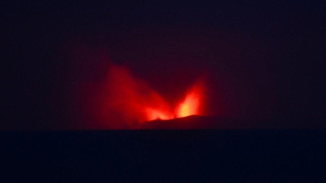
The potential for a tsunami disaster caused by the activity of Mount Anak Krakatau, as occurred in 2018, has drawn attention. However, the volcano’s current condition is assessed as having no potential to collapse in a way that could trigger a tsunami.
The Geological Agency of the Ministry of Energy and Mineral Resources (ESDM) said the growth of Mount Anak Krakatau since the 2018 eruption remains relatively small. The volcano’s condition is also judged not to have the potential to collapse and trigger a tsunami.
This is because there is a fundamental difference between the volcano’s current physical condition and its state before the 2018 tsunami event, which was caused by an eruption of Anak Krakatau in the Sunda Strait.
“Based on the results of our evaluation to date, the growth of the body of Mount Anak Krakatau after the eruption of 22 December 2018 remains relatively small. The volcano also has no potential to collapse on a scale that could trigger a tsunami,” said Lana Saria, Head of the Geological Agency at the Ministry of ESDM, at a press conference on Sunday (6/9/2026).
Lana explained that not every eruption of Mount Anak Krakatau will trigger a tsunami. She said the Sunda Strait tsunami on 22 December 2018 was primarily linked to the collapse of part of the volcano’s body into the sea in a large volume, rather than being caused by the eruption alone.
Meanwhile, comparing the morphology of Mount Anak Krakatau before 2018 and today shows the difference.
“The current morphology of Mount Anak Krakatau differs from before the 2018 event. Much of the volcano’s body on certain sides collapsed in 2018,” Lana said.
Growth and morphological changes have indeed occurred over time. Mapping by the Geological Agency shows that the base of the body and main crater of Mount Anak Krakatau have not changed significantly compared with previous mapping.
“Nevertheless, the development of activity and morphological changes continue to be monitored intensively,” Lana said.
However, she said the ejection of material due to eruptive activity remains a cause for vigilance. Lana said such ejected material could damage equipment near the centre of activity and endanger anyone entering the forbidden zone.
At present, the volcano’s activity could fluctuate and increase. This is because low-frequency and hybrid earthquakes, harmonic tremors, and volcanic tremors are still being recorded.
“The timing, magnitude, and form of the next eruption cannot be determined precisely. For this reason, evaluations are carried out continuously based on changes in all monitoring parameters,” she said.
Furthermore, the Meteorology, Climatology, and Geophysics Agency (BMKG) has also not yet seen any significant rise in sea level caused by the eruptive activity, as of Saturday (6/9/2026) at 10.30 Western Indonesia Time.
To mitigate the risk of the eruption’s impact, the BMKG has also carried out full 24-hour monitoring. This step was taken to anticipate the risk of secondary disasters such as tsunamis, as well as to predict the dispersal of volcanic ash so as not to disrupt aviation safety.
BMKG Head Teuku Faisal Fathani explained that to detect tsunami potential, his team has deployed 20 tsunami gauges around the Sunda Strait. It is also operating electromagnetic wave detection devices measuring from the sea surface (High Frequency Radar Array) in Carita and Tanjung Lesung, Banten.
To this end, the BMKG has placed all preparations into tsunami mode, enabling it to monitor tsunami potential up to around 150 kilometres from the coastline, even though no tsunami potential has yet been detected.
“Nevertheless, the BMKG continues to enhance preparedness and monitoring on an ongoing basis,” he said.
As of Saturday (6/9/2026) at 7.00 Western Indonesia Time, the BMKG’s tsunami gauge devices had not detected any tsunami potential. Meanwhile, the High Frequency Radar Array devices also show that the probability of a tsunami remains at a low level.