Climate prediction data to be basis for local governments setting drought emergency alert status
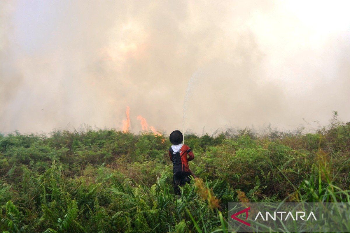
Jakarta (ANTARA) - The Meteorology, Climatology and Geophysics Agency (BMKG) stated that the climate analysis and prediction data it issues is the primary instrument and input material for local governments to establish a drought disaster emergency alert status. BMKG Director of Climate Change, Fachri, explained during a press conference on the ‘Development of Indonesia’s 2026 Dry Season’ in Jakarta on Wednesday that the full authority for determining and establishing emergency status at the site level lies with the respective local governments (Pemda), not with the BMKG. ‘Regarding the drought emergency alert, the BMKG provides information about the analysis of rain that has occurred, whether conditions are dry or otherwise, and also predictions. The local government will determine whether it is necessary to establish emergency alert status in relation to this drought disaster,’ he said. Fachri stressed that the BMKG’s position is focused on being an authoritative upstream information provider, which is then distributed hierarchically to stakeholders starting from the Regional Disaster Management Agency (BPBD), the Ministry of Agriculture, to other technical ministries. This coordination and data supply measure is considered crucial, especially for areas that host food production centres which have started reporting symptoms of water supply shortages for agricultural irrigation systems due to the peak of the dry season. In addition to the food and drought sector, BMKG data integration is also used by the Coordinating Ministry for Political and Security Affairs (Kemenko Polkam) to coordinate forest and land fire (karhutla) disaster preparedness in six priority provinces, namely Riau, Jambi, South Sumatra, West Kalimantan, Central Kalimantan, and South Kalimantan. If additional water is needed to increase soil saturation, weather modification is also carried out. ‘What needs to be known is that this weather modification operation is a collaboration between the BMKG, then BNPB, the Ministry of Forestry, the Ministry of Environment, and several private companies,’ he noted. Based on the updated BMKG data up to the end of May 2026, the expansion of drought areas began in 200 seasonal zones (11.83 percent of the land area) identified by a brownish colour on the national climate distribution map. The movement of these dry zones is projected to increase drastically this month of June by entering 198 new seasonal zones, equivalent to 31.6 percent of the land area, covering parts of southern DKI Jakarta to most of Kalimantan Island. Entering July, the dry season movement will again spread to another 66 seasonal zones covering western Jambi, East Kalimantan, eastern South Kalimantan, most of Sulawesi, to North Maluku. Conversely, the BMKG detected a local anomaly due to widespread topographical effects in seven seasonal zones (0.68 percent of the land area) which are actually above normal or wetter, namely in Bengkulu, northern and southern parts of Gorontalo, and a small part of East Nusa Tenggara (NTT).