
Cirebon Regency's Land Area Increases by 1,000 Hectares, Here's the Cause
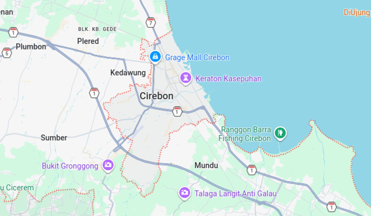
The land area of Cirebon Regency, West Java, has reportedly experienced a significant increase of around 1,000 hectares. This phenomenon is the result of emerging land in the coastal area bordering Central Java province. Yadi Wikarsa, Head of Government at the Cirebon Regency Secretariat, revealed that the land expansion is concentrated in Tawangsari Village, Losari District. This natural occurrence stems from decades of sedimentation from the Cisanggarung River. “The land addition comes from emerging land in Tawangsari Village, Losari District,” Yadi stated on Monday (15/6/2026). Yadi explained that the Cisanggarung River, which serves as the natural boundary between West Java and Central Java provinces, carries a high volume of sediment material. This material subsequently forms new land at the river mouth. Although the land was initially unstable and frequently submerged by seawater, it has shown stable conditions since 2007. Based on coastline delineation, Yadi confirmed that all emerging land in the area geographically falls within the administrative territory of Cirebon Regency. “Looking at the trend, the land position has been stable from 2007 until now,” he added. The central government, through the Ministry of Home Affairs (Kemendagri), has been monitoring this development. At least three official reports have been issued, in 2019, 2021, and 2024. A key point in the 2021 report states that the management of the emerging land is based on the coastline. However, given the continuously expanding land area, the Ministry of Home Affairs has requested the Provincial Governments of West Java and Central Java to conduct intensive discussions for a comprehensive resolution of the territorial status. The Ministry of Agrarian Affairs and Spatial Planning/National Land Agency (ATR/BPN) has suggested that the Cirebon Regency Government and Brebes Regency Government intensify communication regarding the determination of this state land status before it is officially designated by the central government. Currently, the 1,000-hectare area remains vacant land without permanent structures. Nevertheless, the local community has utilised the area as productive fishponds. The land is divided into four blocks managed by 99 fishpond operators. Notably, around 30 of these operators are residents of Limbangan Village, Brebes Regency, Central Java, who are also tapping into the economic potential of the emerging land. “Because its status is state land, the official designation will be made by the state after inter-regional discussions are completed,” Yadi concluded.