
China to Complete Next-Generation Mars Geological Map by Late 2028
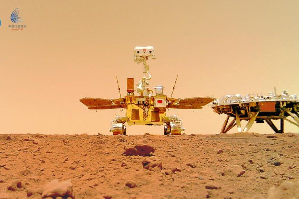
Beijing (ANTARA) - China plans to complete the next generation of Mars geological maps by the end of 2028, with the goal of reconstructing the history of water existence on the Red Planet and introducing a Chinese version of the Martian geological time division system.
Hou Zengqian, a Chinese academic and chief scientist of the Tianwen-3 Mars sample return mission, revealed the plan during a symposium at the Institute of Geology under the Chinese Academy of Geological Sciences on Monday (28/9).
The Zhurong rover, which China landed on Mars in 2021 as part of the Tianwen-1 mission, has provided new clues regarding the planet’s water history, specifically the existence of a very vast ancient ocean approximately 3.5 billion years ago and brief flooding that likely occurred around 1.6 billion years ago.
These findings help complete the chain of evidence regarding the evolution of ancient Martian climate and will be incorporated into the new map. Based on this, the new map will feature a Martian geological time division system developed by China.
Currently, Martian geological time divisions include the Noachian, Hesperian, and Amazonian periods, which are determined based on visible crater density rather than absolute dating. China aims to establish this new system as an international consensus, said Hou.
The project will primarily utilise data from Tianwen-1, supplemented by data from US and ESA (European Space Agency) Mars probes, allowing for the integration of orbital and land-based data. By combining imagery, spectra, radar, gravity, and magnetic readings, a global database will be compiled to connect several of the planet’s physical fields.
Artificial Intelligence (AI) will be at the core of the data interpretation. The expertise of geological experts will be embedded into large models through rule engines to ensure results remain explainable, while multi-scale attention techniques will assist in progressive feature extraction, ranging from local mineral identification to the division of global tectonic units.
The work, targeted for completion by the end of 2028, includes a 1:5,000,000 scale Mars geological map, a 1:50,000 scale landing site map, and a series of thematic atlases. The project will also produce the world’s first intelligent Mars geological map and provide a template for future mapping of the Moon, Venus, and asteroids.
Yang Zhiming, Director of the Institute of Geology at the Chinese Academy of Geological Sciences, emphasised that geological mapping has been one of the institution’s primary tasks for 70 years.
During this period, the mapping conducted by the institution has evolved from regional and national maps to include the Moon and now Mars. According to him, this work has provided the scientific foundation for China’s planetary exploration programme to determine where to go, what to explore, and why it is necessary to do so.