
China Releases Updated 1:5 Million Scale Geological Map of the Moon
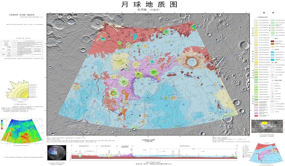
A team of researchers from the Institute of Geology at the Chinese Academy of Geological Sciences (IGCAGS) has officially completed the latest geological map of the entire lunar surface at a scale of 1:5 million. This map represents a significant refinement of the 2024 version and updates the understanding of the geological history of Earth’s natural satellite.
One of the most crucial updates in this map is the recalibration of the lunar geological time scale. The researchers adjusted the age boundaries of three ancient geological periods—Aitkenian, Nectarian, and Imbrian—based on the latest, more accurate dating data.
Findings from the Chang’e-5 mission form the primary foundation for this update. Samples brought back by that mission proved that volcanic activity on the Moon continued until around 2 billion years ago. This extends the duration of lunar volcanic activity by approximately 1 billion years beyond the previous estimate of 3 billion years ago.
The latest map also integrates data from the Chang’e-6 mission, which successfully brought back samples from the far side of the Moon in 2024. Information regarding the age of young basaltic rocks in that region provides a new perspective on the volcanic history of an area that has long had minimal information compared to the near side of the Moon.
In addition, researchers found that KREEP material (potassium, rare earth elements, and phosphorus) is more abundant in the Oceanus Procellarum region. This finding is important for understanding the crystallisation process of the early magma ocean and the thermal evolution of the Moon’s interior.
Physically, the map measures 2.8 x 1.2 metres and charts more than 13,500 impact craters and 81 basins. The researchers used a colour gradient system to distinguish the ages of geological structures, with light colours representing young material and dark colours representing older material.
Going forward, the mapping system developed by IGCAGS is planned to become a basic standard for mapping other celestial bodies, including Mars and asteroids. Physical sample data from the Chang’e missions allow scientists to test rock composition directly without relying solely on orbital observations.