
Central Papua on alert for forest fires in protected and conservation areas
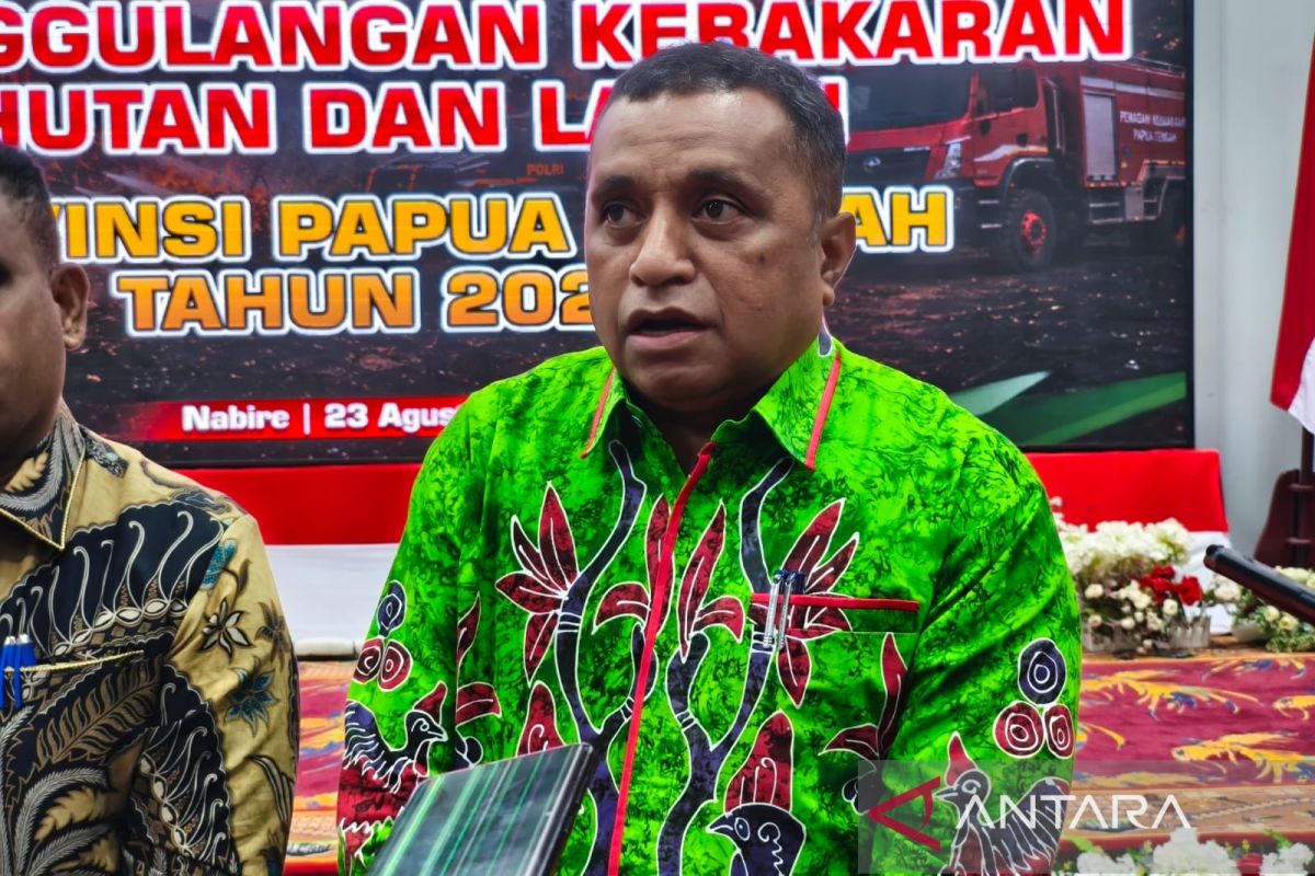
The Central Papua provincial government is increasing its vigilance against forest and land fires (karhutla) in protected and conservation forest areas, which cover around 65 percent of the forest area in the region.
Head of the Central Papua Environment, Forestry and Land Agency (DLHKP), Yan Richard Pugu, said in Nabire on Monday that the prolonged dry season has caused water levels to decline, leaving combustible material available almost evenly across Central Papua.
“The hot spots that have been issued by BMKG are confirmed to already exist in protected and conservation forest areas. There are already fire points in the region,” he said.
He said the presence of indigenous communities within protected and conservation forest areas also needs attention, because land clearing activities could be one possible cause of hot spots emerging.
For this reason, district governments have been asked to carry out direct checks to determine whether hot spots detected by satellite are still active fires or merely indicate high surface temperatures on the land.
Yan said all areas of Central Papua need to be watched closely, because dry conditions provide easily combustible material, while oxygen and fire triggers remain available.
“Therefore, preventive measures for the community, raising public awareness, are an important and urgent part of what needs to be done,” he said.
According to him, areas with peatland indications, such as the eastern part of Nabire, remain a focus of attention because they have the potential to store combustible material. However, vigilance cannot be focused solely on those locations.
The DLHKP is also anticipating the challenges of handling fires in hard-to-reach areas, especially mountain forests with strong winds that can accelerate the spread of fire.
The government is considering establishing posts or representatives in the districts to speed up verification of every hot spot report, so that locations that are actually burning can be dealt with immediately.
He said handling is carried out in stages, with district governments first taking stock of conditions and needs in their respective areas before the provincial government determines further steps.
Meanwhile, the National Disaster Management Agency (BNPB) recorded that the area burned in Nabire Regency reached 396.13 hectares in the period from 18 July to 23 August 2026.
The forest and land fires were spread across seven districts, namely Teluk Kimi, Nabire Kota, Nabire Barat, Wanggar, Nabire, Makimi and Yaur. BNPB said hot weather, strong winds, and dry shrubs and tall grass are suspected to have triggered the fires.