
Central Java Weather Today: Light Rain Potential in 8 Regions and High Wave Warning
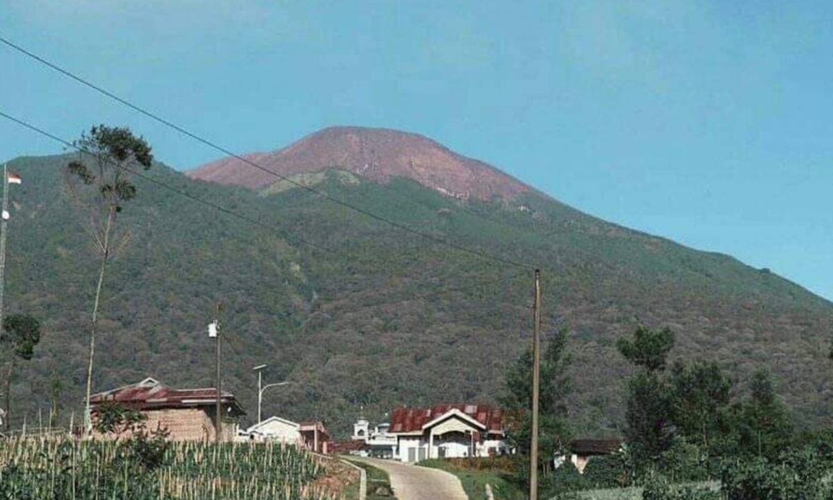
The Meteorology, Climatology, and Geophysics Agency (BMKG) has forecast that light rain is likely to fall in eight areas across the central mountainous region and parts of the northern coast (Pantura) of Central Java on Friday (21/8). In addition to the rain potential, BMKG has also issued an early warning regarding high waves in the southern waters and the threat of tidal flooding (rob) in the northern waters.
Weather in Central Java from morning to midday is generally expected to be sunny and cloudy. Towards the afternoon and early evening, light rain is predicted to appear in several highland areas, which may slightly ease the hot temperatures of the dry season.
BMKG forecaster at the Ahmad Yani Semarang Meteorological Station, Noor Jannah Indriyani, said the eight areas likely to experience light rain include Purwokerto, Purbalingga, Banjarnegara, Wonosobo, Batang, Kajen, Pemalang, and Slawi. Meanwhile, other areas are predicted to remain sunny and cloudy throughout the day.
Despite the rain potential, the public is urged not to be complacent. “Although there is a chance of light rain in several areas, remain alert to forest and land fires (karhutla), because in this dry season many plants are dry and easily catch fire,” said Noor Jannah Indriyani.
In general, winds are blowing from the east to the south at speeds of 10-35 km/h, air temperatures range from 16-34 degrees Celsius, and humidity is 45-95%. Residents in mountainous and highland areas are also asked to be aware of the potential for strong winds.
In the maritime sector, BMKG recorded high waves ranging from 2.5 to 4 metres still occurring in the southern waters of Central Java. Meanwhile, in the northern waters, such as western and eastern Karimunjawa, Jepara, and Pati-Rembang, wave heights reached 1.25 to 2.5 metres.
BMKG forecaster at the Tanjung Emas Semarang Maritime Station, Usman Effendi, reminded that these conditions pose a risk to shipping safety. “Be alert to high waves above 1.25 metres when wind speeds exceed 15 knots, especially for fishing boats and barges,” said Usman Effendi.
In addition to high waves, the tidal flooding phenomenon (rob) is also beginning to rise in the northern waters with a maximum height of 0.9 metres at 04.00-07.00 WIB. Usman added that this tidal flooding could potentially disrupt the activities of residents in coastal areas, from transportation modes, loading and unloading activities at ports, to inland fisheries and salt farming sectors.