
Central Java Weather Forecast for 6 August 2026: High Waves Warning Issued
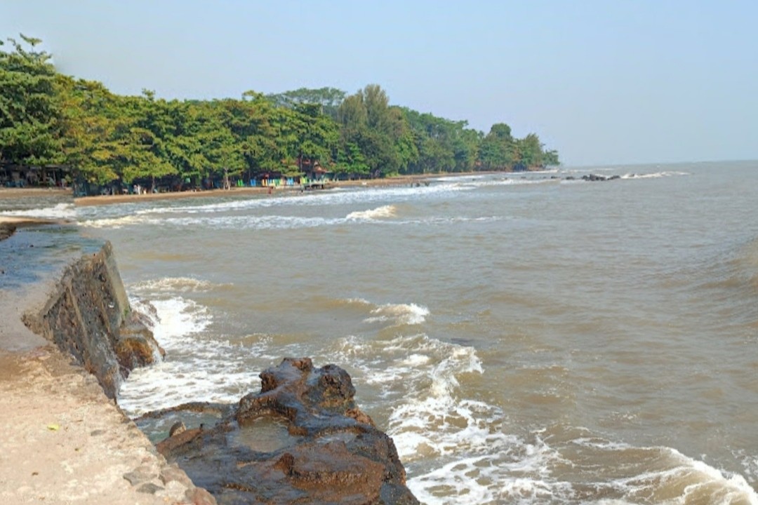
The Meteorology, Climatology and Geophysics Agency (BMKG) has released the weather forecast for the Central Java region for the period of Thursday, 6 August 2026. Most of Central Java is expected to be dominated by clear to cloudy skies throughout the day, indicating that the region has entered the peak of the dry season.
BMKG forecaster Noor Jannah Indriyani from the Ahmad Yani Meteorological Station in Semarang stated that almost all areas of Central Java will not experience rain. There is a slight chance of light rain in the Karanganyar area during the afternoon, but it is not significant enough to change the generally hot and dry conditions.
“Be aware of the potential for forest and land fires due to the lack of rain, the abundance of dry vegetation, and strong wind gusts,” Noor Jannah said in an official statement on Thursday (6/8).
Based on weather dynamics data, air temperatures in Central Java range from 16 to 34 degrees Celsius with humidity levels between 45 and 95 percent. Winds generally blow from the east to the south at speeds of 5 to 35 kilometres per hour. Despite the scorching daytime heat, BMKG noted a phenomenon of cold temperatures at certain times. “The air will feel colder at night and in the morning, especially for people in mountainous and highland areas,” Noor Jannah added.
Regarding maritime conditions, the Tanjung Emas Maritime Meteorology Station in Semarang issued an early warning for high waves. Forecaster Lessy Andari noted that while wave heights in northern waters have decreased to normal levels, the situation is different in the southern waters of Central Java. Waves are predicted to reach heights of 2.5 to 4 metres, posing a significant risk to all types of shipping activities, including fishing boats, barges, and passenger and cargo vessels. The public is urged to remain vigilant against high waves in southern waters, particularly when wind speeds increase above 15 knots. Meanwhile, tidal flooding on the north coast is reportedly receding, although floods in several areas such as Pekalongan and Demak have not yet fully subsided. In northern waters, high waves of 1.25 to 2.5 metres are only observed around the Karimunjawa Islands.