
Central Java Weather Forecast for 30 July 2026: Light Rain in 17 Regions
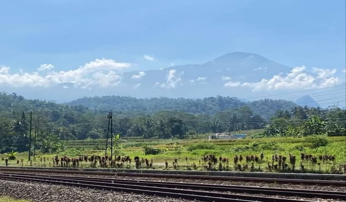
The Meteorology, Climatology and Geophysics Agency (BMKG) has issued a weather forecast for Central Java on 30 July 2026, predicting light rain in mountainous and highland areas across 17 regions. From morning to midday, the weather is generally expected to be clear and cloudy, with uneven light rain falling in the mountainous and highland areas from the afternoon to early evening. This condition will result in warmer air temperatures during the ongoing dry season.
“Although there is a chance of more rain than before, residents are urged to remain vigilant against forest and land fires as well as strong winds,” said BMKG Forecaster at the Ahmad Yani Meteorological Station in Semarang, Winda Ratri, on Thursday (30/7).
Winda Ratri stated that the areas in Central Java likely to experience light rain include Purwokerto, Purbalingga, Banjarnegara, Kebumen, Boyolali, Mungkid, Karanganyar, Sragen, Blora, Temanggung, Batang, Kajen, Pemalang, Slawi, Magelang, Bumiayu and Majenang, while other areas will remain clear and cloudy. Despite the light rain and warmer temperatures, the dry season is still ongoing and is expected to peak in August, leaving many plants and trees dry and potentially triggering forest and land fires.
Based on weather dynamics observations in Central Java, winds are blowing from the east to the south at speeds of 5 to 35 kilometres per hour, with air temperatures ranging from 16 to 34 degrees Celsius and humidity levels between 45 and 95 percent. “The potential for strong winds exists in several areas along the north coast,” she added.
Despite the generally clear weather, high waves of 1.2 to 2.5 metres persist in the northern and southern waters of Central Java, posing a significant risk to shipping, especially for fishing boats and barges when wind speeds exceed 15 knots. Coastal flooding due to high tides is also ongoing along the northern coast of Central Java, with a maximum height of 1 metre occurring between 6:00 AM and 11:00 AM WIB, causing increasingly widespread flooding in coastal areas.
BMKG Maritime Meteorologist at Tanjung Emas Port in Semarang, Shafira Tsanyfadhila, noted that high waves are still occurring in northern waters such as Pekalongan-Kendal, Semarang-Demak, Karimunjawa, Jepara and Pati-Rembang, as well as in southern waters from Cilacap to Wonogiri. “Be aware of these high waves as they will disrupt community activities in the waters and coastal areas, especially when wind speeds increase,” she said. She added that the high tides in the northern waters are causing flooding and disrupting activities such as transportation, port loading and unloading, inland fisheries and salt farming.