
Central Java Weather Forecast 21 July 2026: Forest Fire Alert and Southern Swells
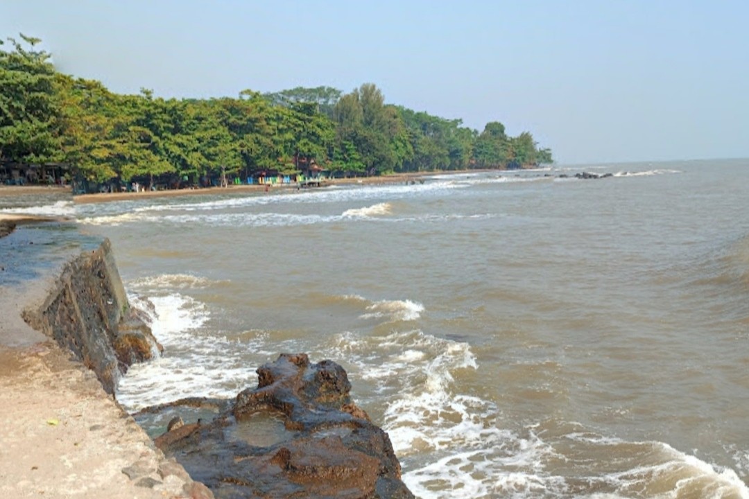
The Meteorology, Climatology and Geophysics Agency (BMKG) predicts that light rain is still likely to fall in seven areas of Central Java on Tuesday (21/7), despite the region currently being in the dry season. Meanwhile, conditions in the northern waters are improving with the receding of tidal floods (rob) and a decrease in wave height.
BMKG forecaster at the Ahmad Yani Meteorological Station in Semarang, Winda Ratri, explained that from morning to midday, the weather in Central Java is generally clear to cloudy. However, towards the afternoon and early evening, light rain is predicted to fall over mountainous and highland areas.
Winda reminded the public to remain vigilant against the potential for forest and land fires (Karhutla). “Be aware of forest and land fires because many plants and trees are dry in the midst of this prolonged dry season,” she added.
Good news comes from the northern waters of Central Java. The tidal flood level is reported to have receded to a maximum of 0.8 metres. Wave heights in the northern sea have also decreased to a range of 0.5 to 1.25 metres. However, tidal floods in several coastal points along the Pantura route are reported to have not completely receded due to the impact of previous high tides.
Different conditions are occurring in the southern waters of Central Java. BMKG forecaster from the Tanjung Emas Maritime Station in Semarang, Retna Swasti Karini, warned that the risk for shipping remains high in the area. The BMKG has urged vessel operators, from fishing boats and barges to passenger ships, to remain cautious. Wind speeds exceeding 15 knots in several areas are considered very risky for maritime activities. High waves in both the northern and southern waters of Central Java, reaching 1.25 to 2.5 metres, still pose a significant risk to shipping activities.