
Central Java Weather Forecast 20 July 2026: Light Rain in 6 Regions and High Waves
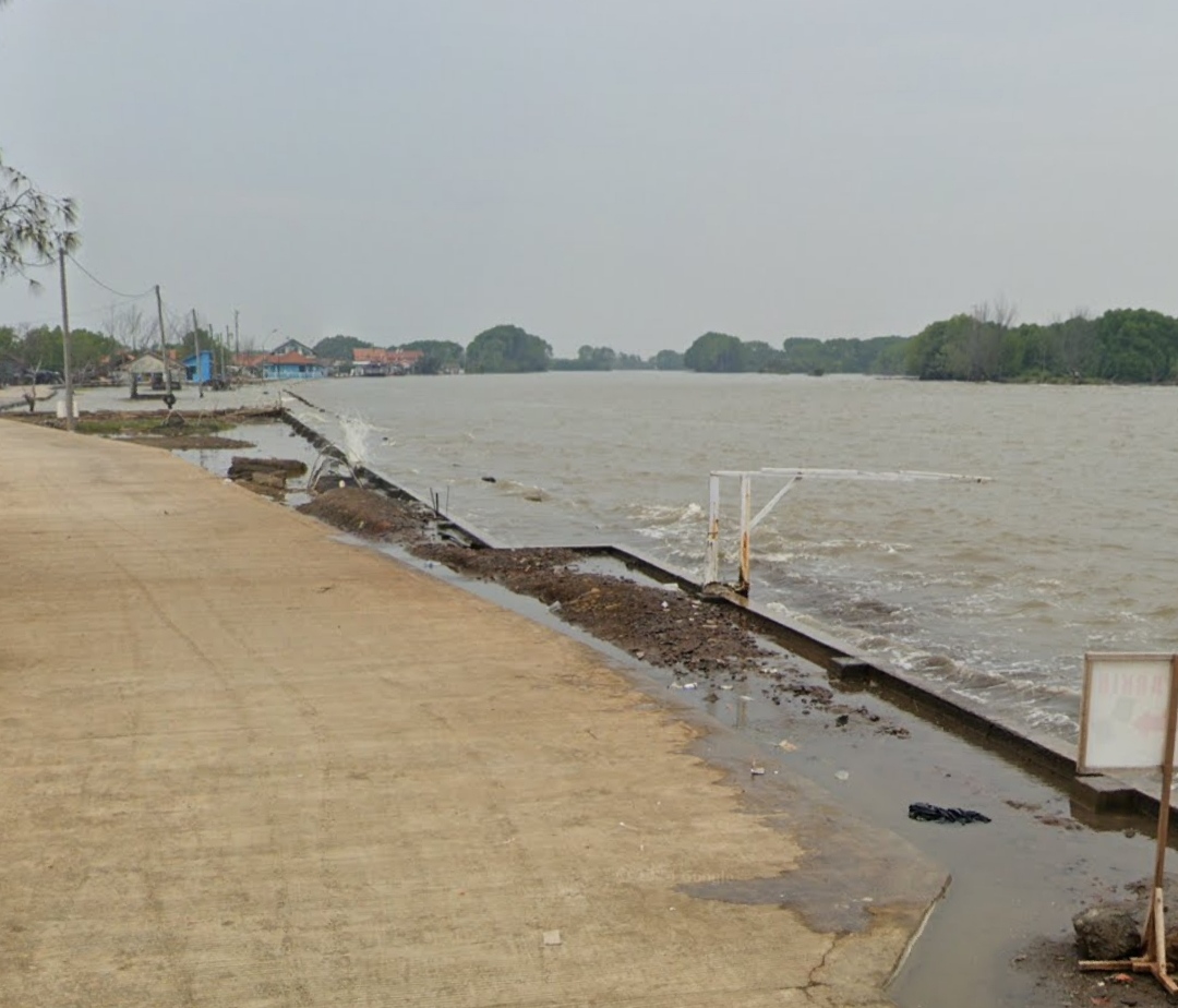
Light rain remains likely to fall over six areas of Central Java on Monday (20 July), with waves of 1.25–2.5 metres also continuing in the northern and southern waters, even though tidal flooding (rob) has slightly declined compared with before.
Most areas of Central Java will see partly cloudy and cloudy conditions throughout Monday (20 July), but scattered light rain is likely to return over six areas, particularly in the mountainous and highland regions of central Central Java, from the afternoon into the early evening.
High waves in the northern and southern waters of Central Java are still occurring, reaching 1.25–2.5 metres and posing a considerable risk to shipping activity, even though tidal levels in the northern waters have fallen slightly compared with before, peaking at a maximum of 0.9 metres between 12.00 and 14.00 WIB.
“There is still a chance of light rain in six areas, namely Purbalingga, Banjarnegara, Mungkid, Temanggung, Kajen and Pemalang,” said Rany Puspita, a forecaster at the BMKG Ahmad Yani Semarang Meteorological Station, on Monday (20 July) morning.
According to Rany Puspita, the light rain expected in these mountainous and highland areas could ease the hot weather prevailing during this dry season, but residents are still being asked to remain alert to the risk of forest and land fires (karhutla), as there is plenty of dry vegetation, trees, branches and litter that could easily be ignited by sparks.
Meanwhile, Rany Puspita said, most areas of Central Java will remain partly cloudy and cloudy throughout the day, with winds blowing from the east to the south at 5–35 kilometres per hour, air temperatures ranging from 16 to 33 degrees Celsius, and humidity ranging from 45 to 95 per cent.
Although tidal flooding (rob) in the northern waters has declined compared with before, peaking at a maximum of 0.9 metres between 12.00 and 14.00 WIB, floods submerging a number of areas along the northern coast of Central Java — such as Pekalongan, Batang, Kendal, Semarang, Demak, Jepara, Pati and Rembang — are still ongoing.
Lessy Andari, a forecaster at the BMKG Tanjung Emas Semarang Maritime Station, said waves reaching 1.25–2.5 metres were still occurring in Central Java’s waters on Monday (20 July), a condition that poses a considerable risk to shipping activity when wind speeds exceed 15 knots, affecting fishing vessels, barges, cargo ships and passenger transport.
“Although the weather in Central Java’s waters is generally partly cloudy, people are asked to remain alert to these high waves,” said Lessy Andari.