
Causes of Megathrust and Shallow Crustal Earthquakes Threatening Jakarta and West Java
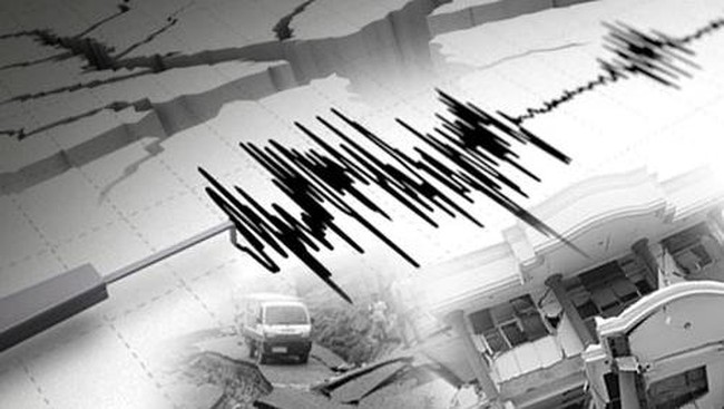
A magnitude 4.3 earthquake struck the Cianjur Regency, West Java, and surrounding areas on Tuesday, 1 September 2026, at 17:53:11 WIB. Analysis by the BMKG (Meteorology, Climatology, and Geophysics Agency) shows the epicentre was located on land, 10 km southwest of Cianjur, West Java, at a depth of 4 km.
According to the BMKG, the earthquake was triggered by active fault activity. The tremors were felt by residents in Sukabumi, Bandung, Sukaraja, and as far as Jakarta. Witnesses reported significant shaking.
Following the earthquake, the Lembang Fault has come under scrutiny. According to the Geological Agency of the Ministry of Energy and Mineral Resources (KESDM), the Lembang Fault is an active fault spanning approximately 29 km from Mount Manglayang to Padalarang. As an active fault, it possesses the potential to cause earthquakes if tectonic plate movement occurs.
Daryono from the Indonesian Disaster Expert Association (IABI) stated that Jakarta and West Java sit tectonically upon a highly active transition zone caused by the subduction of the Indo-Australian Plate beneath the Eurasian Plate. “This complex tectonic arrangement forms two main seismic threats,” he told CNBC Indonesia on Thursday (3/9/2026).
“The threats include intra-slab and active land faults (crustal faults) surrounding the mainland, as well as the megathrust threat off the southern coast of Java,” Daryono added.
On land, Jakarta and surrounding areas are influenced by the accumulation of strain from a network of active land faults. “The Lembang Fault north of Bandung is one of the most closely watched because it has a slip rate of approximately 3-6 mm/year with a potential magnitude of up to M6.8,” he said.
However, the threat does not end there. Daryono noted that the tectonic structure of western West Java is also flanked by the Cimandiri, Baribis, Cugenang, Cileunyi-Tanjungsari, Cipamingkis, and South Garut (Garsela) faults. “The Baribis Fault, particularly the Jakarta-Bekasi-Purwakarta, Subang to Kuningan and Cirebon segment, holds high potential danger because it traverses areas with the largest population and infrastructure accumulation in Indonesia,” he revealed.
He explained that shallow crustal earthquakes from these faults, despite having moderate magnitudes (M5.0-M6.5), can trigger high peak ground acceleration and amplify local effects due to the soft alluvial layers in the Jakarta Basin.
Regarding the megathrust threat, Daryono warned that the Sunda Strait megathrust zone acts as a shallow subduction zone containing a seismic gap. “This zone has the potential to release interplate earthquakes with magnitudes up to M8.7,” he said.
He explained that seismologically, the recurrence interval of giant earthquakes in this subduction zone continues as tectonic energy accumulates without significant release over long periods. “If a rupture occurs in this megathrust zone, the combination of long-period ground motion and potential tsunami could have widespread systemic impacts on the mainland of West Java and Jakarta.”
The interaction between active land faults and the megathrust subduction zone confirms that seismic danger in West Java and Jakarta is a geological inevitability. Daryono emphasised that understanding this potential danger must serve as a reference for preparedness in disaster mitigation.
“Building structural preparedness, mitigation based on microzonation data, and a technical understanding of earthquake risks are crucial steps in facing the ongoing active tectonic dynamics beneath us,” said Daryono.
Daryono has repeatedly recommended increasing vigilance and learning from earthquake events, both in Indonesia and abroad, that have caused severe fatalities due to building damage. He stressed the importance of strict audits of earthquake-resistant building standards, seismic risk mapping, and strengthening community preparedness against secondary impacts such as debris and potential fires in dense urban areas.
Meanwhile, the BMKG is undertaking mitigation steps by deploying warning sensors, educating the public, regularly checking early warning systems donated to local governments, and conducting simulations for residents in ‘blind zones’. A blind zone is an area near an earthquake epicentre that does not receive early warnings because the seismic waves arrive too quickly for the system to send an alert.
Based on this, the BMKG has urged the public not to wait for a warning. If strong shaking is felt, residents should perform the DROP-COVER-HOLD ON manoeuvre to protect themselves.