
Bromo Fire Expands to 742 Hectares
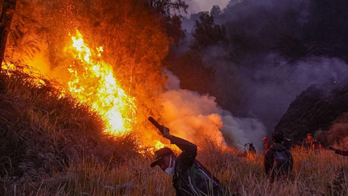
The forest and land fire in the Mount Bromo area of East Java continues to expand, with the affected area now reaching 742 hectares. Head of the East Java Provincial Disaster Management Agency (BPBD) Gatot Soebroto confirmed the figure based on data from Monday evening (10/8). “The Bromo fire today has impacted 742 hectares of burned land,” Gatot said. He added that firefighting efforts are ongoing both on the ground and from the air, involving multiple agencies. Operations are utilising three helicopters, one drone, and eight fire engines. Joint teams involved include the Surabaya City Fire Department, BPBD Mojokerto, BPBD Pasuruan, BPBD Probolinggo, BPBD Lumajang, BPBD Malang, and the provincial BPBD. The National Disaster Management Agency (BNPB) has deployed two helicopters to support the operation, alongside one helicopter from the East Java Provincial Government. Ground teams from the Indonesian National Armed Forces, the National Police, the Bromo Tengger Semeru National Park Authority (BB TNBTS), and volunteers are also working in synergy to extinguish the flames. Gatot noted that water bombing is currently focused on the P 30 hotspot in the Dingklik area of Pasuruan Regency, as well as other locations where smoke plumes indicate potential hotspots. Previously, the Head of Emergency and Logistics at the East Java BPBD reported that the fire was approaching residential areas. The vegetation affected includes mountain pine, mentigen, acacia, and shrubs, though no casualties have been reported. The fire began on 3 August 2026 at around 5 p.m. local time. Due to the expanding fire, the Bromo Tengger Semeru National Park has temporarily closed all tourist access to the Mount Bromo area since Saturday (8/8) until an unspecified time.