BRIN: Unified Exposure Model Needed for Integrated Disaster Risk Data
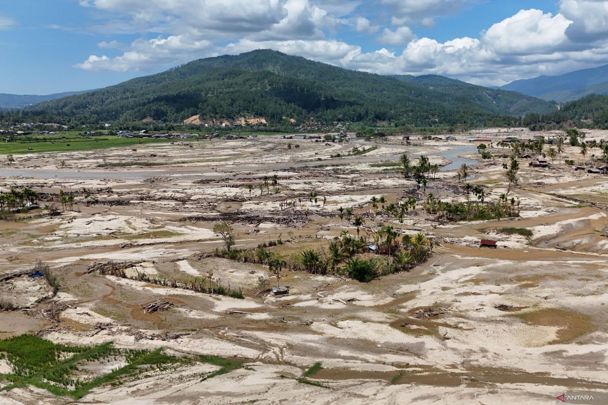
The National Research and Innovation Agency (BRIN) has stated that Indonesia still faces the challenge of fragmented disaster risk data scattered across various agencies, necessitating an integrated multi-hazard exposure model to strengthen development planning and disaster resilience. BRIN Deputy Chairman Amarulla Octavian said in a statement in Jakarta on Wednesday that crucial data actually already exists in a number of institutions, such as the Ministry of Public Works, Statistics Indonesia (BPS), the National Disaster Management Agency (BNPB), and universities. “Currently, Indonesia’s data landscape is being built through the One Data Policy and One National Disaster Data. However, the data remains fragmented. Valuable data is available across various institutions, but the absence of an integrated national exposure database limits our ability to project impacts effectively,” he said. He assessed that disaster risk reduction cannot be done sectorally, because developing a national-scale exposure model requires contributions from various parties, ranging from BPS, the Meteorology, Climatology and Geophysics Agency (BMKG), the Geological Agency, BNPB, universities, to the research community. “No single institution can build and maintain a national-scale exposure model alone. Therefore, we need to open up space for collaboration, overcome data interoperability challenges, and share expertise to produce a multi-hazard exposure model that benefits development planning and disaster risk reduction,” said Amarulla Octavian. Meanwhile, Deputy Minister of Public Works Diana Kusumastuti revealed that Indonesia’s position at the meeting point of the world’s major tectonic plates makes it one of the countries with a high level of disaster risk. According to her, disaster risk is not solely determined by natural hazards, but emerges when these hazards interact with people, infrastructure, economic activities, and vulnerable environments. “Understanding exposure and vulnerability is as important as understanding the hazard itself,” she said. Diana highlighted the Java Trench area as one of the most significant tectonic systems in Indonesia with the potential to trigger earthquakes and tsunamis. Therefore, strengthening exposure information in that area is considered important to support decision-making and investment prioritisation capable of protecting communities and vital infrastructure. “Understanding where people live, where infrastructure is located, and where economic activity is concentrated is a crucial foundation for reducing disaster risk and improving the quality of development planning,” said Diana Kusumastuti.