
BRIN: Single Wave Heights on DIY Coast Reached 6 Metres
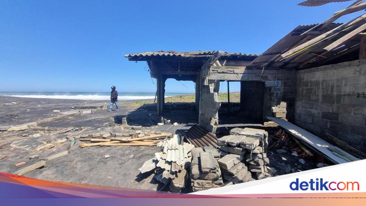
A researcher from the National Research and Innovation Agency (BRIN) has stated that individual wave heights on the beaches of Yogyakarta recently reached 6 metres, almost twice the figure announced in official warnings. Widodo Pranowo, a senior researcher at BRIN’s Climate and Atmosphere Research Centre, explained that using wave period change analysis, the wave height forecast could be identified four days in advance. He utilised analysis with global wave model data from the European Union’s Copernicus Marine Service.
‘The analysis shows that wave heights in the southern waters of Gunungkidul began to exceed the 2.5-metre danger threshold on Monday, 10 August 2026, at 13:00 WIB and peaked on Tuesday, 11 August 2026, at 01:00 WIB, with a significant wave height of 3.32 metres,’ he said. The significant wave height remained within the official warning range of 2.5-4 metres. However, his model calculated that the highest single wave reached 6.00 metres, or 1.81 times the significant height. A comparison using the Rayleigh statistical method gave a maximum wave height of 6.16 metres, a difference of only about 2.7 per cent from the global model data.
He clarified that significant wave height is the average of the highest one-third of waves in a given period and is not the largest wave. ‘Therefore, the official BMKG warning figure is not actually wrong, but it is easily misunderstood by laypeople and fishermen as the upper limit,’ he explained. The analysis also showed that the wave period at the location had exceeded 13 seconds for 96 hours before the wave height increased, a sign of incoming swell from the southern Indian Ocean. Wave partition data showed that 99 per cent of the wave energy at the peak came from swell, not local winds, with a peak period reaching 21.0 seconds and a deep-water wavelength of up to 687 metres.
Widodo also explained the damage to fishermen’s boats. This was caused by wave heights reaching 5.09 metres when breaking, which is 3.8 times the hull width and 9.3 times the freeboard height of a 1-3 GT outboard motor boat. The water sweep range reached 3.86 metres above mean sea level, exceeding the elevation of the sand mounds where boats are parked, which is around 2.5 metres. A broader domain analysis showed that the wave increase occurred almost simultaneously along the southern coast of Java to Bali, from Ujung Kulon waters to Nusa Penida, with a west-east peak time difference of about six hours. From 1 July to 20 August 2026, six high-wave episodes were recorded in Baron waters, recurring every three to ten days.
Widodo urged fishermen to monitor warnings from the Meteorology, Climatology, and Geophysics Agency (BMKG). He recommended three steps for warnings aimed at fishermen: presenting maximum wave height figures in addition to significant wave height, using wave periods above 13 seconds as a separate alert trigger, and establishing a safe boat mooring line at a minimum elevation, for example, 4.9 metres above mean sea level or 65 metres back from the low tide line. BMKG had previously warned of potential wave heights of 2.5-4 metres in the southern waters of DIY and stated that high wave conditions are likely to recur until September.