
BRIN pushes geoinformatics adoption to tackle forest and land fires in Indonesia
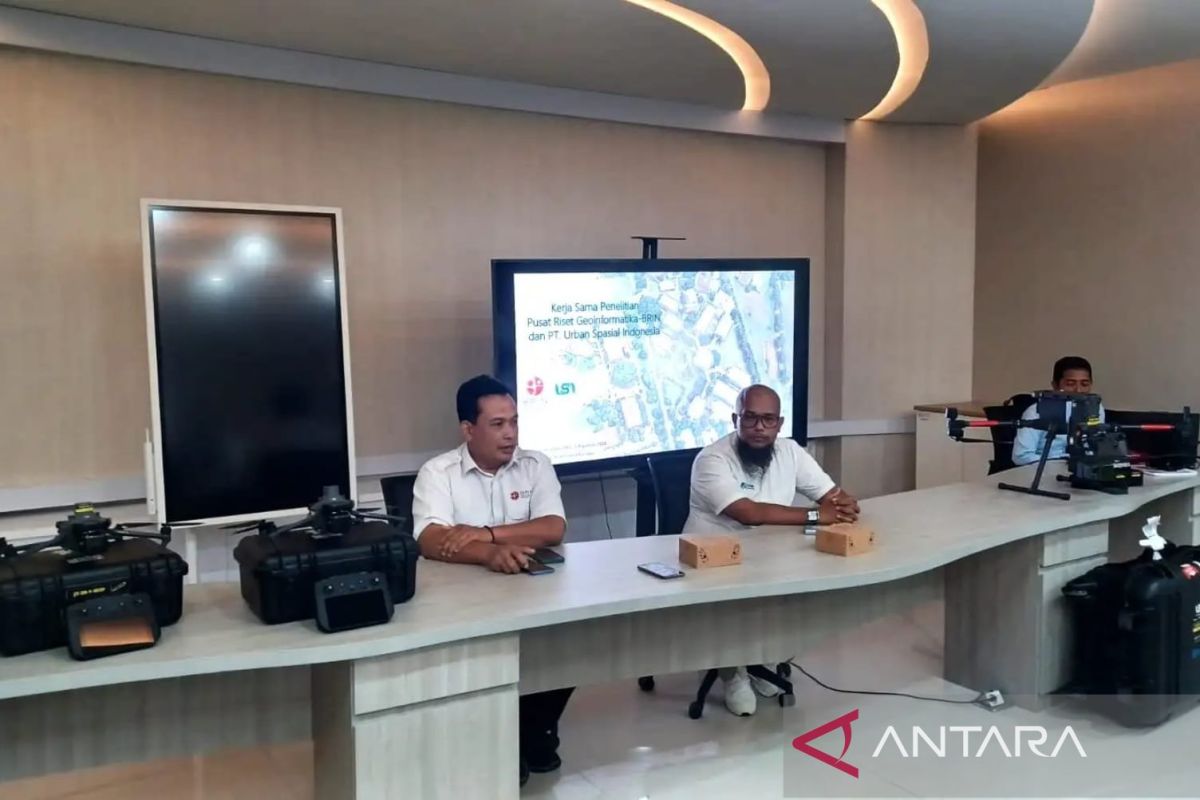
The National Research and Innovation Agency (BRIN) is encouraging the optimal use of satellite technology and geoinformatics as a primary pillar in detecting and addressing the forest and land fire (karhutla) crisis in Indonesia.
During an online discussion held in Jakarta on Wednesday, the Head of BRIN’s Geoinformatics Research Centre, Rokhis Khomarudin, explained that geoinformatics technology developed by BRIN plays a crucial role in handling forest and land fires.
The first role is as an early warning system derived from weather prediction models. “We can build a fire weather index and drought potential index, which can be monitored daily to predict fire risk before it occurs,” he said.
Rokhis added that this climate monitoring model has been developed and is now fully operationalised by the Meteorology, Climatology, and Geophysics Agency (BMKG).
The second role is direct monitoring of forest and land fire indicators through hotspot tracking. According to him, existing satellite technology is capable of detecting the emergence of hotspots every day across all regions of Indonesia to map fire potential.
The third role of geoinformatics is its ability to estimate and map the extent of forest areas that have been burned. Rokhis said this area analysis is carried out using high-resolution satellite imagery, such as Landsat and the Sentinel 1 and 2 satellites.
The results of calculating the area affected by forest and land fires are then submitted regularly every month to the Ministry of Forestry (Kemenhut) as the policy holder and official authority.
Responding to the geoinformatics data support, the Head of the Public Information Service and Presentation Division at the Ministry of Forestry, Agus Yasin, affirmed that the daily supply of hotspot data from satellites is crucial for use as an early warning.
Nevertheless, he noted that all hotspot data must still be followed up with accurate field verification. The Ministry carries this out by deploying thermal drones and remote surveillance cameras (CCTV) to ascertain whether a hotspot is a genuine fire spot, given that materials such as the zinc roofs of residents’ homes are also frequently detected by satellites as hotspots.
“For example, when a hotspot incident occurs, is that hotspot really a fire spot? Or is it just ordinary heat? Because usually, for instance in Sumatra and Kalimantan, many residents’ houses use zinc roofs, which are sometimes also identified as hotspots,” said Agus Yasin.
Source: jawawa.id (https://jawawa.id/newsitem/brin-pushes-geoinformatics-adoption-to-tackle-forest-and-land-fires-in-indonesia-1787734477)
Originally published by Antara (Indonesian) (https://www.antaranews.com/berita/5711544/brin-dorong-penerapan-geoinformatika-atasi-karhutla-di-indonesia), translated from Indonesian