
BPN: Public can independently plot land parcels via smartphone
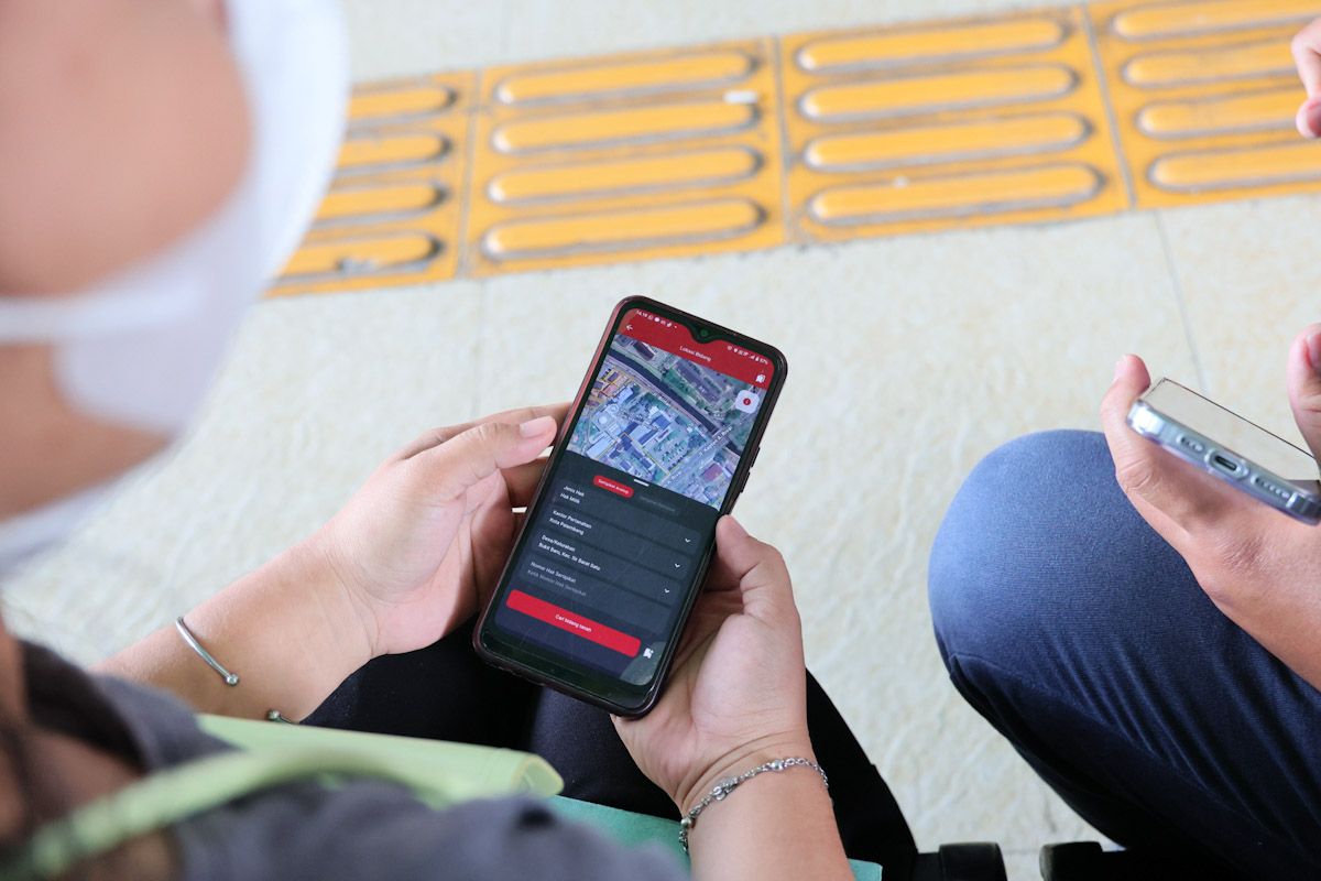
The Ministry of Agrarian Affairs and Spatial Planning/National Land Agency (ATR/BPN) has revealed that the public can independently plot land parcels via smartphone.
‘Landowners can submit location coordinates through the Swaplotting feature in the Sentuh Tanahku app. Upon submission, local land offices (Kantah) will verify the data against the ATR/BPN records to confirm the land’s location. If accurate, the parcel will be plotted on the digital map by Kantah officials,’ said I Gede Ketut Ary Sucaya, Head of the Data and Information Centre (Kapusdatin) at ATR/BPN, in a statement on Friday.
The Sentuh Tanahku app features a tool enabling the public to independently plot land parcels using their smartphones.
Plotting refers to the process of accurately placing land parcels onto a digital map using GPS coordinates. This allows those with unmapped land to submit details online without needing to visit the local land office in person.
The Swaplotting feature was introduced to assist in mapping land parcels not yet recorded in ATR/BPN’s digital system. It is particularly useful for landowners without certificates and those with analog certificates.
The feature encourages public participation in updating land data more accurately and collaboratively.
‘Verified land parcels will be fully integrated with the overall land data, aiming to establish location certainty and raise public awareness of the importance of land registration,’ said I Gede Ketut Ary Sucaya.
Swaplotting is accessible via the Sentuh Tanahku app’s main menu on Android and iOS devices. Users must grant location access permissions for the ATR/BPN system to accurately identify their position.
Analog certificate holders should select the ‘Certified’ option when using Swaplotting, then provide details such as the certificate number, land area, and location. They must also upload a photo of the certificate for verification by local land offices.
For those without certificates, the ‘Uncertified’ option should be chosen, requiring personal details, land location, proof of ownership, and tax payment receipts as supporting documents.
After submitting all data and supporting documents, the Sentuh Tanahku system forwards the information to local land offices for further verification before updating the digital land maps.