
BPBD Maps Areas at Risk of Landslides and Flooding in Buleleng
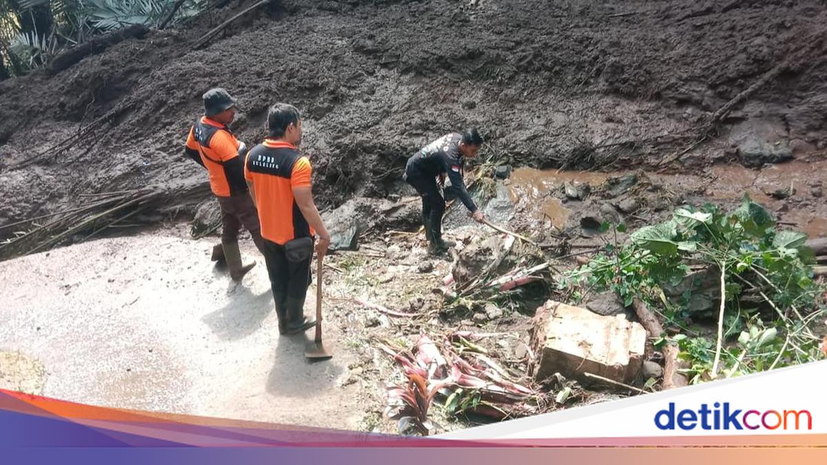
The Buleleng Regional Disaster Management Agency (BPBD) in Bali has mapped several areas at risk of landslides and flooding during the rainy season. Sukasada, Banjar and Gerokgak districts are a particular concern because of their history of disasters.
I Gede Dharma Sudana, head of BPBD Buleleng’s Emergency and Logistics Division, said the mapping was based on coordination with the Meteorology, Climatology and Geophysics Agency (BMKG), as well as records of previous disasters.
BMKG monitoring indicates that the rainy season in Buleleng is expected to begin between November and December 2026, he said. Rainfall could be heavier in western Buleleng, particularly Gerokgak District.
“Based on past experience, the areas considered at risk include Pancasari, Wanagiri and Gitgit, as well as Banjar District and Gerokgak District, especially the Sumberklampok area,” Dharma Sudana said on Thursday (12 November 2026).
Dharma explained that rain has not yet fallen evenly across Buleleng. Some villages have begun to experience light to moderate rainfall, while other areas remain dry.
The conditions are also affected by the El Niño phenomenon, which is expected to remain active until April 2027. Dharma said that hilly areas such as Pancasari, Wanagiri and Gitgit, along with parts of Banjar District, need particular attention.
“After a long dry season, soil density changes. When heavy rain suddenly arrives, that can increase the possibility of landslides,” he said.
As well as mapping disaster-prone areas, BPBD Buleleng is assessing locations previously affected by disasters. One is in Banjar District, which was hit by major flooding.
BPBD has also inspected a number of rivers in Buleleng, he continued. Monitoring found that conditions had changed after the River Basin Agency (BWS) cleared debris along the river channels.
During the previous flooding, trees and other debris were swept along by the current, creating a risk of obstructing water flow. However, inspections several months after the incident found that some rivers had begun to clear.
“Some of the rivers are now starting to clear. Hopefully, the flow of water will no longer be obstructed by materials such as wood or rocks,” he said.
Dharma nevertheless urged Buleleng residents, particularly those living near riverbanks, to remain alert when it rains. Residents were advised not to wait for water levels to rise further before moving to safety.
“We hope people will not stay in those locations. They should at least move to a safer place first. That is the message we continue to emphasise as we prepare for the rainy season,” he said.
Source: jawawa.id (https://jawawa.id/newsitem/bpbd-maps-areas-at-risk-of-landslides-and-flooding-in-buleleng-1794527427)
Originally published by detikBali (https://www.detik.com/bali/berita/d-8750303/bpbd-petakan-daerah-rawan-longsor-dan-banjir-di-buleleng-ini-lokasinya), translated from Indonesian