
BPBD: Forest and Land Fires Spread Across Three Districts in West Aceh, Reaching 9.6 Hectares
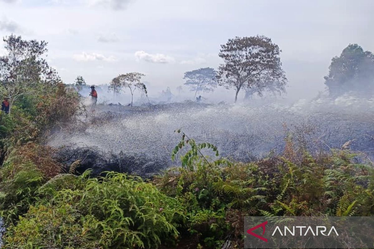
The forest and land fires (karhutla) are directly impacting vegetation and threatening the health of local residents due to smoke causing respiratory issues.
Meulaboh (ANTARA) - The West Aceh Regional Disaster Management Agency (BPBD) has recorded that forest and land fires affecting three districts in the region have expanded to 9.6 hectares, up from 6.5 hectares recorded on 1 September 2026.
“Up to this point, our firefighting efforts are still ongoing,” said the Acting Head of BPBD West Aceh, Dharmawan, to ANTARA in Meulaboh on Thursday.
He stated that the widest distribution of fire points is located in the Samatiga District, specifically in Gampong Mesjid Baro, with the burnt area reaching five hectares.
Meanwhile, in the Johan Pahlawan District, specifically in Blang Beurandang Village, the burnt area covers three hectares, and in the Woyla District, specifically in Gampong Aron Tunong, the burnt area reaches approximately 1.5 hectares.
Dharmawan explained that the exact cause triggering the fire is still under investigation by the authorities.
To facilitate firefighting, the agency has deployed a joint team consisting of BPBD West Aceh, the Indonesian National Armed Forces (TNI), the National Police (Polri), the Aceh Forest Management Unit (KPH) IV, and local residents to conduct intensive firefighting operations.
To maximise the response, the deployed fleet and infrastructure include one D-Max vehicle, one ATV, one drone for aerial monitoring, as well as two water pumps and hoses.
Dharmawan added that officers are continuously working to localise the movement of the fire to prevent it from spreading to residential settlements.