
BNPPDT Maps Border Infrastructure on Rondo Island and in Sabang
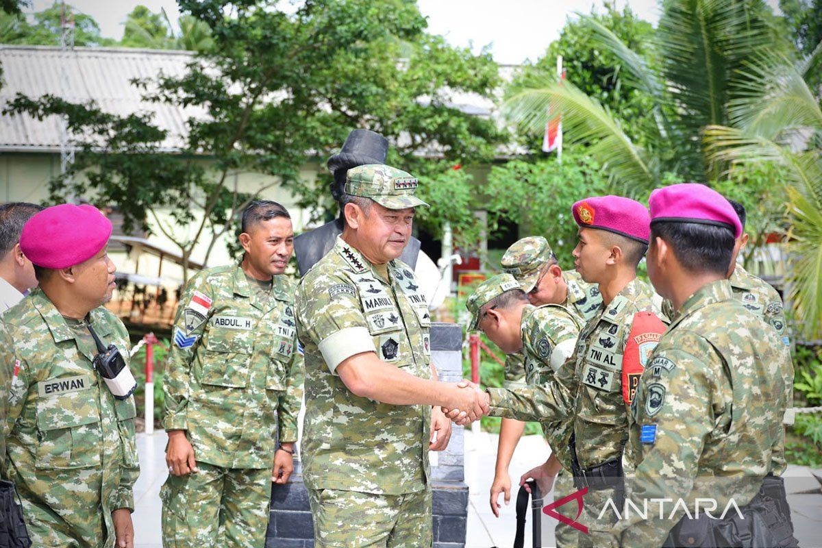
Jakarta (ANTARA) - The head of the National Agency for Border and Remote Area Management (BNPPDT), Indonesian Army General Maruli Simanjuntak, conducted an inspection and evaluation of Indonesia’s outermost islands and border areas on Rondo Island and in Sabang, Aceh, on Friday (13 November).
The visit focused on identifying basic infrastructure needs, including supplies of clean water, electricity and internet access, as well as support facilities for border security personnel.
Maruli said in a statement received in Jakarta on Saturday that a number of border areas he had visited faced broadly similar fundamental problems.
He said attention and concrete measures were needed to ensure border areas had adequate facilities as the front porch of the Unitary State of the Republic of Indonesia (NKRI).
The inspection forms part of BNPPDT’s preparations to develop construction measures through the Bangun Beranda Negeri (Build the Nation’s Front Porch) programme.
The programme is intended to address the actual needs of border and remote areas, particularly by providing infrastructure and basic services.
“How can we support these border areas so they truly become a better front porch for the NKRI?” Maruli said.
He explained that BNPPDT’s expanded remit, which now includes the management of remote areas, had also widened the scope of its development targets.
Efforts to improve facilities would cover not only border areas but also remote regions requiring attention and solutions tailored to local conditions.
Based on the inspection and reports received, Maruli said limited access to electricity, internet and clean water remained a problem in several areas. These conditions would inform BNPPDT’s assessment of needs and development priorities.
To address clean-water shortages, BNPPDT will examine the possibility of drilling wells. Electricity and internet access issues will also be discussed further to determine suitable solutions based on conditions on the ground.
“They have a clean-water problem, so we need to look into the possibility of drilling wells. They also have problems with electricity, and internet access is difficult for them,” Maruli said.
He said the inspection and evaluation findings would inform the development of plans and the prioritisation of construction programmes.
BNPPDT aims to formulate measures soon so that preparations for implementation can begin in early 2027.
“Hopefully, after this we can quickly formulate what needs to be done, starting early next year,” Maruli said.
As part of the visit, Maruli inspected Rondo Island, which lies in the Andaman Sea and is one of Indonesia’s outermost islands, bordering another country.
He also spoke with personnel from the Outer Island Security Task Force (Satgas Pamputer) to learn about local conditions and the equipment and facilities they need to carry out their security duties.
Maruli then visited the Indonesian Navy’s Sabang Naval Base (Lanal), Sabang’s Zero Kilometre Point, and the Indonesian Air Force’s Sabang Radar Unit 01 (Satradar 01). The visits provided a fuller assessment of conditions in the area and of the defence and security facilities supporting the border region.
Source: jawawa.id (https://jawawa.id/newsitem/bnppdt-maps-border-infrastructure-on-rondo-island-and-in-sabang-1794621078)
Originally published by Antara (Indonesian) (https://www.antaranews.com/berita/5853311/bnppdt-petakan-infrastruktur-perbatasan-di-pulau-rondo-dan-sabang), translated from Indonesian