
BNPP Evaluates 29 Spatial Utilisation Programmes in Wini; Only 7 Realised
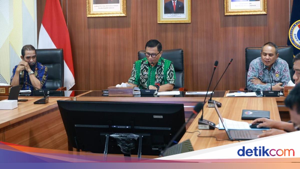
The National Border Management Agency of the Republic of Indonesia (BNPP RI) has evaluated the implementation of spatial structure plans across 29 priority spatial utilisation programmes in the Wini Planning Area, North Central Timor Regency, East Nusa Tenggara. The evaluation revealed a spatial structure achievement of only 33.6 per cent, indicating that several programmes still require significant acceleration.
This evaluation was discussed during a follow-up forum for monitoring and evaluating the implementation of the spatial structure plan for the Wini Gateway Service Centre (PPPG), organised by the BNPP RI Assistant Deputy for Border Area Spatial Planning on Thursday (24/9).
Edfrie R. Maith, Deputy for Border Area Potential Management at BNPP RI, stated that the evaluation was conducted to assess the progress of priority development programmes in the Winti National Border Area, covering both the 2022-2024 and 2025-2029 development periods.
“This evaluation is necessary to see the extent to which the spatial structure plan has been realised through priority spatial utilisation programmes, while simultaneously identifying programmes that require further follow-up,” Edfrie stated in a written release on Friday (25/9/2026).
According to Edfrie, spatial planning plays a vital role in bridging national development policies with regional implementation. Consequently, field monitoring results serve as essential material to ensure that development programmes align with established spatial plans.
East Nusa Tenggara Province is governed by Presidential Regulation Number 179 of 2014 regarding the Spatial Plan for National Border Areas (RTR KPN). Meanwhile, the Wini Planning Area operates under the Detailed Spatial Plan for National Border Areas (RDTR KPN) based on Presidential Regulation Number 4 of 2023, covering the Motaain, Wini, and Motamasin Gateway Service Centres.
This RDTR KPN serves as an operational instrument to direct, coordinate, and control spatial utilisation in border areas, including Wini, which holds a strategic function as one of the nation’s gateways.
Based on field visits conducted from 5-7 August 2026, out of the 29 priority spatial utilisation programmes in the Wini Planning Area, only seven programmes have been realised. Thirteen programmes are currently underway but have not yet reached optimal levels, while nine programmes have yet to be implemented.
Ismawan Harijono, Assistant Deputy for Border Area Spatial Planning at BNPP RI, noted that these results indicate several aspects require cross-sectoral follow-up. “The 33.6 per cent achievement shows that the realisation of the spatial structure in Wini still requires improvement. Field confirmation results will serve as the basis for identifying constraints, formulating corrective measures, determining budget priorities, and refining spatial planning policies,” said Ismawan.
The Wini Planning Area holds several strategic functions, including serving as a centre for customs, immigration, quarantine, and security; a centre for national defence and security; a centre for education and health; and a centre for passenger public transport.
The spatial structure plan for Wini encompasses 11 main components: service centres, transport networks, energy, telecommunications, water resources, drinking water, wastewater and hazardous waste management, drainage, waste management, disaster evacuation routes, and national border management.
In its implementation, several basic infrastructure and connectivity needs still require acceleration. This includes road networks, drinking water supply, wastewater management, waste management, and various other supporting infrastructures.
“The development of basic infrastructure and connectivity in Wini must be carried out in an integrated and phased manner, while maintaining the area’s function as a border region and a national gateway,” explained Ismawan.
Beyond basic infrastructure, telecommunications is another critical area for development in the Wini Planning Area. Evaluations show limitations in telecommunications network coverage and capacity, public Wi-Fi access, regional government radio broadcasts, and community information institutions.
Therefore, the optimisation of Base Transceiver Stations (BTS), the provision of Wi-Fi in public facilities, the enhancement of radio coverage through repeaters, and the empowerment of Community Information Groups (KIM) are essential needs that must be coordinated with the Ministry of Communication and Digital, local governments, and telecommunications operators.
Furthermore, the evaluation results will serve as material to refine the Wini RDTR KPN policy. Strategic issues to be addressed include cross-area and cross-border connectivity, national border management, cross-border trade, maritime border areas, disaster risks, telecommunications, and alignment with the revision of the National Spatial Plan (RTRWN).
Through these follow-up actions, BNPP RI ensures that field monitoring results are translated into more directed planning and development steps. These efforts are expected to strengthen Wini’s function as both a border area and a service centre for communities living in the border region.