
BNPB Urges Public to Heed Exclusion Zone Following Mount Karangetang Eruption
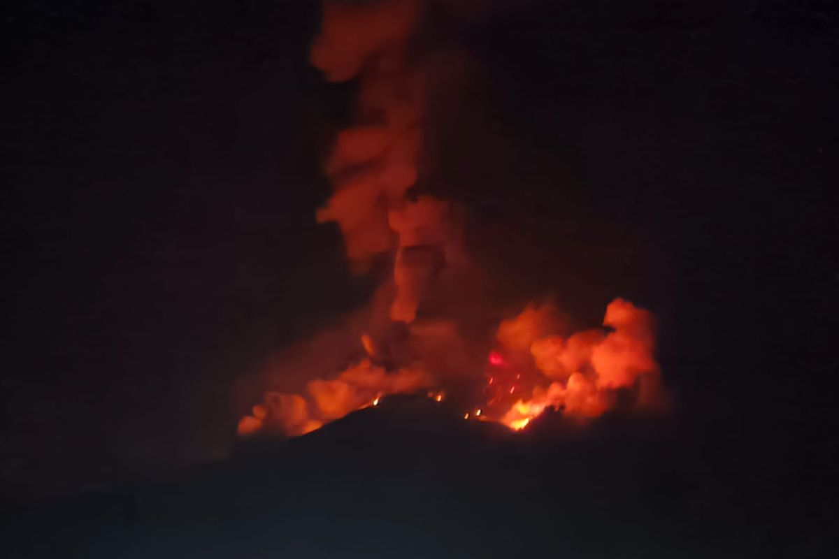
The National Disaster Management Agency (BNPB) has urged residents and tourists to comply with official recommendations by refraining from activities within the designated danger zone following the eruption of Mount Karangetang on Siau Island, North Sulawesi. Abdul Muhari, Head of the BNPB Data, Information and Communication Centre, stated on Monday that the exclusion zone includes a 1.5-kilometre radius from the summit of Kawah Dua in the north and the main crater in the south, with a sectoral extension of 2.5 kilometres towards the south-southwest. ‘In light of the Mount Karangetang eruption, BNPB urges communities around the disaster-prone area to comply with the recommendations issued by the relevant authorities,’ he stressed. Abdul explained that the 1,784-metre-high volcano erupted from its northern crater on Sunday evening at 19.14 WITA, beginning with a weak explosive strombolian eruption that sent material 100 metres high. The ejection of hot material from the eruption temporarily ignited alang-alang vegetation around the summit, but the Sitaro Regency Regional Disaster Management Agency confirmed the fire was extinguished and under control by Monday morning. He added that residents living along riverbanks originating from the summit are asked to increase their preparedness for the threat of cold lava floods and flash floods that could potentially flow to coastal areas. The BNPB has also warned of potential subsequent hazards, including magmatic eruptions and pyroclastic flows that could slide into valleys at any time due to the accumulation of previous unstable lava material that is prone to collapse. During the period of 1 to 11 July 2026, seismic recordings noted 12 avalanche earthquakes, 83 emission earthquakes, 7 harmonic tremors, 32 non-harmonic tremors, 10 hybrid/multi-phase earthquakes, 41 shallow volcanic earthquakes, 21 deep volcanic earthquakes, 3 local tectonic earthquakes, 4 felt earthquakes on the I-III MMI scale, and 127 distant tectonic earthquakes. Despite this, the activity status of the most active volcano in Sulawesi has been maintained at Level II Alert since early last year, and the daily activities of the local community are reported to be proceeding normally.