
BNPB Strengthens Forest and Land Fire Response with Satellite Technology and Cloud Seeding
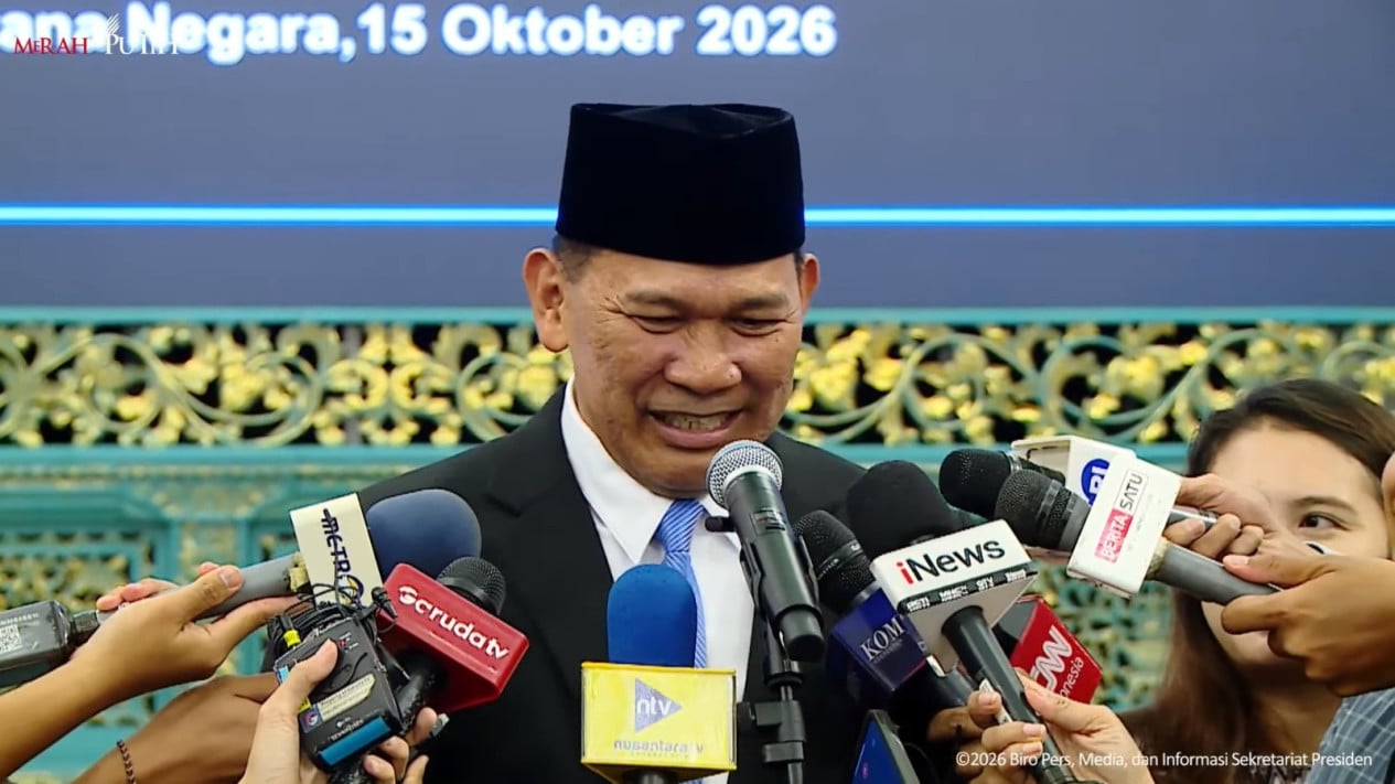
The government is stepping up efforts to tackle forest and land fires by using satellite technology, deploying personnel in the field and taking legal action against those responsible for burning. BNPB chief Kristomei Sianturi said the agency had improved its method for calculating the area burned using satellite imagery to produce more accurate monitoring of hotspots.
“Permission to report, Mr President, that since we were appointed on 15 October 2026, we have continued to take steps to improve our calculation method using satellite imagery,” the BNPB chief said at the Plenary Cabinet Meeting on the First Two Years of the Kerja Nyata untuk Negeri administration at the Presidential Palace complex in Jakarta on Wednesday, 21 October 2026.
The BNPB chief said five provinces had been designated as priorities for fire response: Central Kalimantan, South Sumatra, South Kalimantan, Jambi and West Kalimantan.
“There are five priority provinces today: Central Kalimantan, South Sumatra, South Kalimantan, Jambi and West Kalimantan. The areas seeing an increase today are South Sumatra and Jambi, but it is not very significant,” he said.
The BNPB chief said the agency was using dry-ice cloud seeding to help trigger rain in areas requiring fire response.
“Since 20 October, we have seeded 3,100 kg of dry ice in five sorties. In South Sumatra, we used 800 kg in one sortie. As a result, particulate matter levels, including PM2.5, have fallen, while visibility in Palembang has improved from 700 metres to 7,000 metres,” he said.
Meanwhile, National Police Chief General Suyudi Ario Seto reported that 13 regional police forces had taken legal action in cases involving individuals. At the time of his report, police had recorded 286 reports covering 5,856 hectares of burned land, and 243 people had been named as suspects.
“Regarding enforcement in forest and land fire cases involving individuals, 13 regional police forces have taken action. There are 286 reports, the area burned is 5,856 hectares, and there are 243 suspects. Thirty-two cases are under investigation, nine investigations have been halted, 189 remain under investigation and 56 cases have been completed,” the police chief said.
Legal action has also targeted companies suspected of involvement in the fires. As of 20 October 2026, police had recorded 100 reports covering 29,534.99 hectares of burned land, and 13 companies had been named as suspects.
“For companies, based on the latest report at 6 pm on 20 October, enforcement by 10 regional police forces and the Criminal Investigation Agency’s special crimes directorate had produced 100 reports, covering 29,534.99 hectares of burned land. There are 13 suspects, six investigations have been halted and 94 cases are under investigation,” he said.
In the corporate investigations, the police chief said police had recommended revoking permits in 23 reports that had progressed to the investigation stage. Eleven companies had been named as suspects, while 12 had not.
“For 71 police reports, the investigation stage has not yet resulted in a recommendation to revoke permits. However, two have already led to suspects being named, while 69 have not. These are companies affiliated with foreign investment, with 22 companies involved,” the police chief added.
The police chief also outlined the concession areas and burned land associated with companies facing legal action. The 11 companies named as suspects hold concessions covering 209,933 hectares, of which 11,105.39 hectares have burned. The 12 companies not yet named as suspects hold concessions covering 166,756 hectares, with 8,849 hectares burned.
“Of these 11 companies, eight are in West Kalimantan, two in Central Kalimantan and one in South Kalimantan,” the police chief added.
Source: jawawa.id (https://jawawa.id/newsitem/bnpb-strengthens-forest-and-land-fire-response-with-satellite-technology-and-cloud-seeding-1792756337)
Originally published by VIVA.co.id (https://www.viva.co.id/berita/nasional/1938132-bnpb-perkuat-penanganan-karhutla-dengan-teknologi-satelit-dan-hujan-buatan), translated from Indonesian