
BNPB Reveals Latest Forest and Land Fire Data Across 6 Provinces, Central Kalimantan Records Highest Hotspot Count
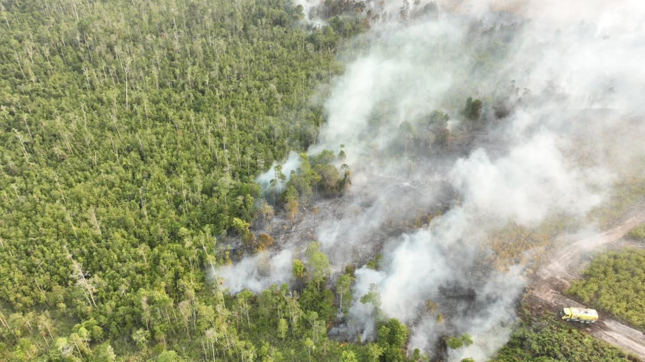
The National Disaster Management Agency (BNPB) has provided the latest updates regarding the handling of forest and land fires (karhutla) across six Indonesian provinces.
Berton Panjaitan, the Acting Head of the BNPB Centre for Data, Information, and Disaster Communication, explained that hotspots are still being detected in the provinces of Sumatra, Kalimantan, and West Papua.
Berton stated that there are 61 hotspots in West Kalimantan (Kalbar), with the burnt area reaching more than 802 hectares. “We can report that the air quality is in the hazardous category, with visibility below 1 kilometre. To extinguish this area of over 432 hectares, task forces and personnel are required to be deployed,” Berton told reporters at his office on Friday, 4 September 2026.
Meanwhile, 70 hotspots have been detected in the Central Kalimantan (Kalteng) region, with the burnt area reaching 225 hectares. Visibility in the area is only 2.5 km. “However, specifically for Central Kalimantan, we were unable to take action yesterday due to unfavourable field conditions. Nevertheless, weather modification operations were conducted once, involving the seeding of 800 kilograms of salt,” said Berton.
BNPB reported that 56 hotspots are still being detected in South Kalimantan (Kalsel), with 305 hectares of land burnt. The air quality in South Kalimantan is also unhealthy, and visibility is below 5 km.
In Riau Province, 30 hotspots remain, with 172 hectares of land burnt. BNPB also detected 20 hotspots in Jambi Province, covering 47 hectares of burnt land.
Berton noted that hotspots in South Sumatra (Sumsel) are also still being detected, numbering 26 points, with 171 hectares of land currently burning. “The air quality ranges from moderate to unhealthy, and visibility is below 7 kilometres. We have deployed a ground task force of 11,026 personnel, who have successfully extinguished more than 45 hectares,” said Berton.