
BNPB Reveals Forest and Land Fire Data Across Six Provinces, South Sumatra Worst at 531 Hectares
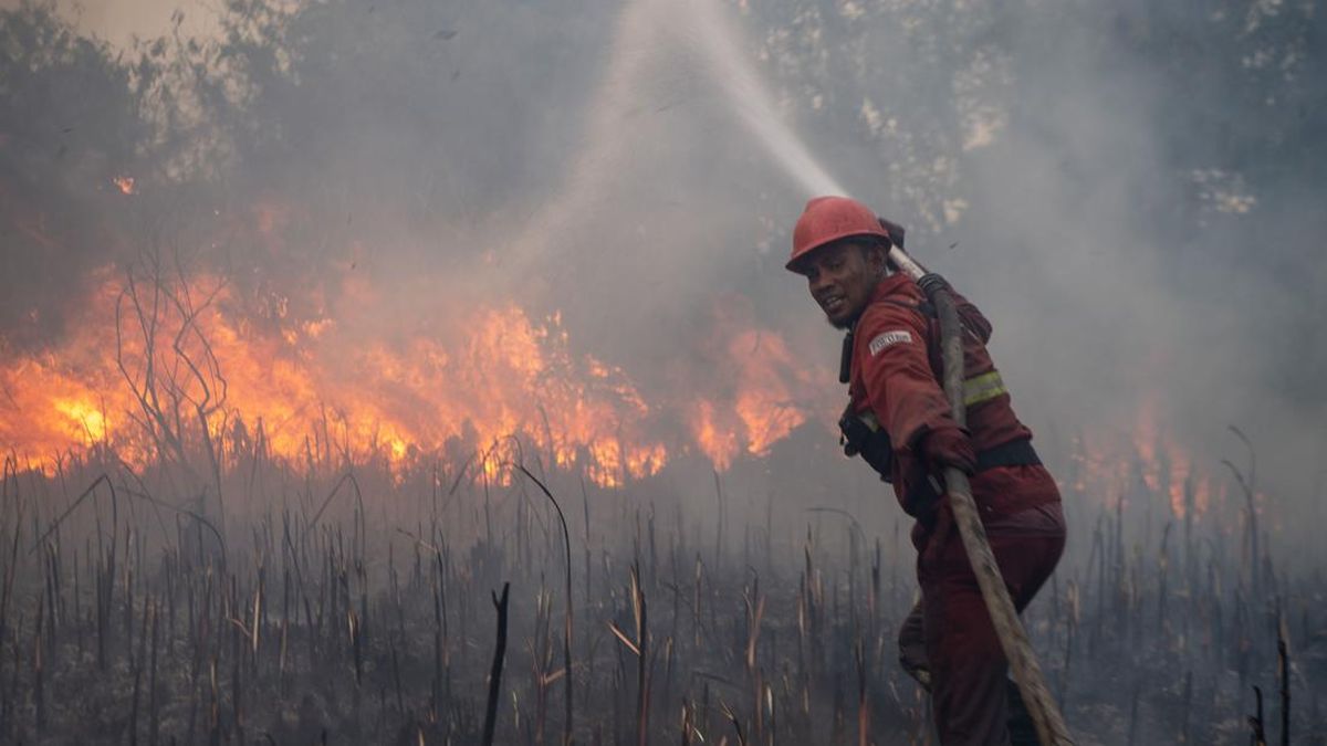
The National Disaster Management Agency (BNPB) has disclosed data regarding forest and land fires (karhutla) across six provinces.
Based on data as of Wednesday (16/9), South Sumatra has become the region with the largest area of burnt land, reaching more than 531 hectares.
“For South Sumatra, as of yesterday, the burnt area reached over 531 hectares with 24 hotspots,” said the Acting Head of the BNPB Data, Information, and Disaster Communication Centre, Berton Panjaring, during a press conference at the Coordinating Ministry for Politics and Security Office, Jakarta, on Thursday (17/9).
Of that total area, 240 hectares have been successfully extinguished.
Berton stated that weather conditions in South Sumatra are not conducive to conducting Weather Modification Operations (OMC).
“The weather conditions do not allow for OMC, and no cloud growth has been detected. Visibility is below 4 km, though flights remain relatively normal,” he said.
In addition to South Sumatra, the BNPB recorded forest and land fires in West Kalimantan, Central Kalimantan, South Kalimantan, Jambi, and Riau.
In West Kalimantan, there are seven hotspots with a burnt area reaching 122.9 hectares. More than 65.6 hectares have been successfully extinguished, while approximately 57.3 hectares remain.
He noted that helicopter assistance from Japan has begun participating in the fire management efforts.
“Regarding the helicopter assistance from Japan, specifically the three Chinook helicopters, one sortie was conducted yesterday. This is due to the relatively low visibility. This information pertains to the 16th; one Chinook has completed one sortie, while the others are undergoing test and maintenance flights,” he said.
In Central Kalimantan, the burnt area has reached more than 218 hectares with 94 hotspots. Of this amount, 108.7 hectares have been successfully extinguished, leaving approximately 110 hectares remaining.
Meanwhile, in South Kalimantan, the BNPB identified 36 hotspots with a burnt area of more than 131 hectares. 96.8 hectares have been successfully extinguished.
For Jambi, there are 39 hotspots with a burnt area of more than 106 hectares. 65 hectares have been extinguished, leaving approximately 41.5 hectares remaining.
In Riau, the burnt area is recorded at more than 53 hectares with 21 hotspots.
“More than 29 hectares have been successfully extinguished, while 23.8 hectares remain. The weather conditions there are also very dry, making it impossible for us to implement OMC because there is no cloud growth in Riau,” he added.
Source: jawawa.id (https://jawawa.id/newsitem/bnpb-reveals-forest-and-land-fire-data-across-six-provinces-south-sumatra-worst-at-531-hectares-1789689297)
Originally published by CNN Indonesia (https://www.cnnindonesia.com/nasional/20260917182005-20-1405143/bnpb-beber-data-karhutla-6-provinsi-sumsel-terparah-capai-531-hektare), translated from Indonesian