
BNPB: Forest Fires Spread Across Five Mountainous Regions in East Java
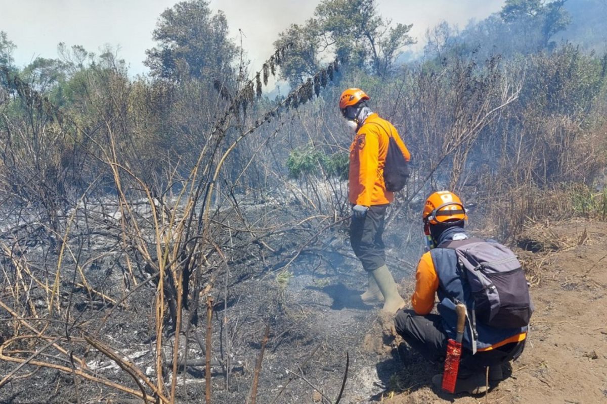
The National Disaster Management Agency (BNPB) has stated that forest and land fires (karhutla) are spreading across five mountainous regions in East Java Province, triggering the temporary closure of hiking activities to ensure visitor safety.
Acting Head of the BNPB Disaster Data, Information, and Communication Centre, Berton SP Panjaitan, said in Jakarta on Friday that based on monitoring up to this afternoon, hotspots have been detected at Mount Semeru (Lumajante-Malang), Mount Wilis (Nganjuk-Kediri), Mount Ungup-Ungup (Banyuwangi-Bondowoso), Mount Arjuno Welirang (Pasuruan), and Bukit Sariwani (Probolinggo).
“Joint teams from BPBD, TNBTS, Tahura, Perhutani, TNI/Polri, Manggala Agni, and volunteers are continuing ground-based handling at hotspots that are still accessible,” he said.
Berton explained that the largest fire is affecting the Mount Semeru area, which has been burning since 26 August 2026, destroying approximately 1,888.91 hectares of land ranging from Ranukembang, Ranupane Village, the Post 1 hiking trail, to the west of Ranu Kumbolo.
Aerial firefighting efforts using the East Java Provincial Government’s helicopter, PK-DAP, at Semeru have been temporarily halted due to electrical system issues and bucket damage. Consequently, firefighting efforts have shifted to manual methods and the creation of firebreaks amidst the steep terrain.
Meanwhile, the fire at Mount Ungup-Ungup in Banyuwangi, which has spread into the Bondowoso region and reached 20 hectares, has prompted the decision to temporarily close the Ijen Crater Tourist Area starting Friday (4/9).
This follows the closure of the Mount Semeru hiking trails, which has been enforced by the TNBTS Great Office since 26 August 2026.
In other locations, he added that the Mount Wilis fire has burnt approximately 16 hectares of vegetation in Nganjuk and Kediri, while efforts to manage smoke plumes on the slopes of Mount Arjuno Welirang and Bukit Sariwani in Probolinggo are being hindered by steep cliff gradients.
In response to this series of events, the BNPB has urged residents and tourists to comply with the closure of mountain tourist areas and strictly prohibits land-clearing activities through burning, which could potentially expand the spread of hotspots.
“The public is also requested to immediately report any hotspots or smoke plumes in forest areas to the nearest officials so they can be handled as early as possible,” said Berton.