
BNPB: Forest and land fires scorch 396 hectares across seven districts in Nabire
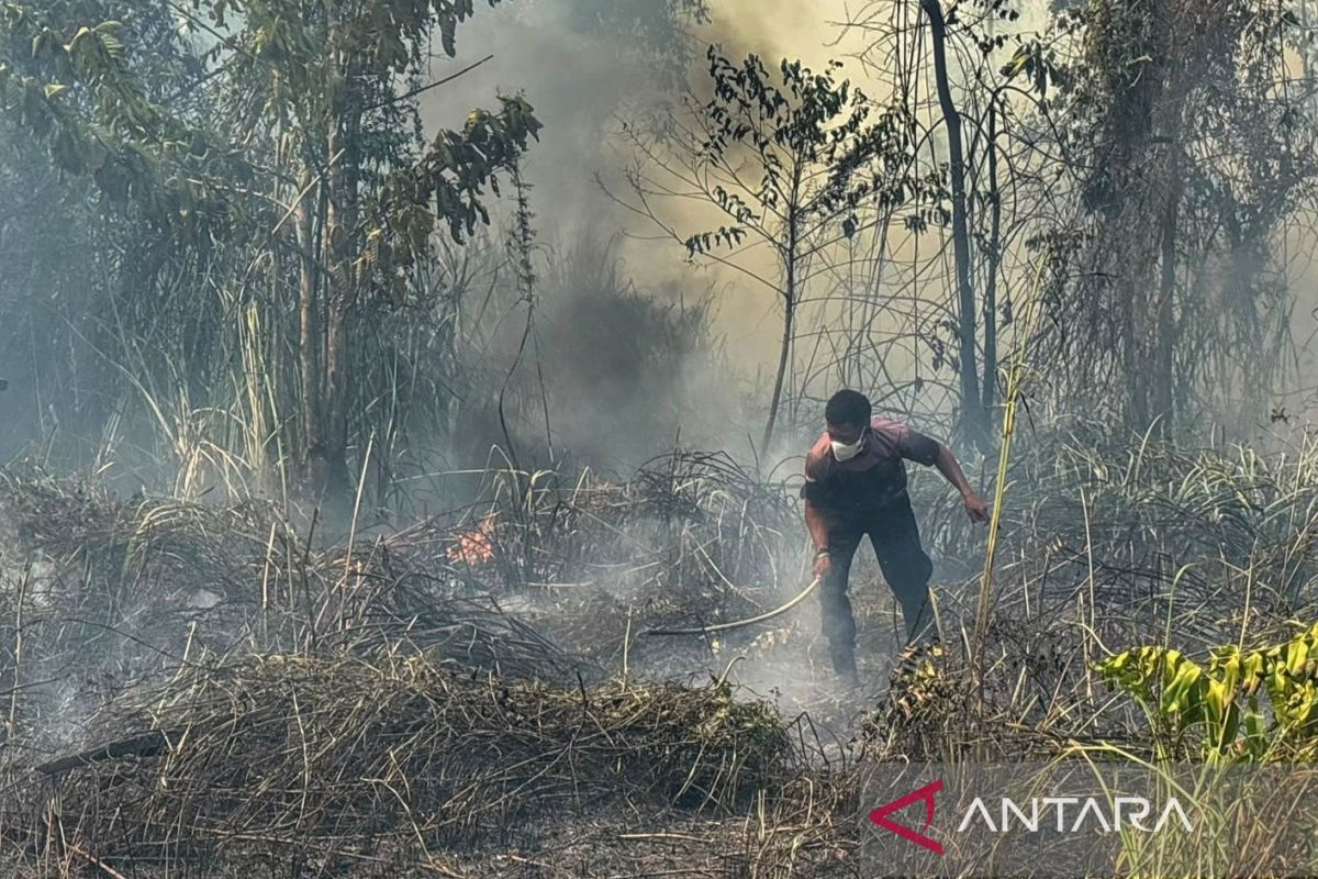
The National Disaster Management Agency (BNPB) has stated that forest and land fires (karhutla) have spread across Nabire Regency, Central Papua, with the total burned area reaching 396.13 hectares.
Acting Head of the BNPB Disaster Data, Information and Communication Centre, Berton SP Panjaitan, said in Jakarta on Monday that the fires have affected seven districts in Nabire since 18 July to 23 August 2026.
Berton explained that, according to data collected by the Nabire Regency Regional Disaster Management Agency (BPBD), the seven affected areas include Teluk Kimi, Nabire Kota, West Nabire, Wanggar, Nabire, Makimi and Yaur districts.
In the incident, the BNPB Operations Control Directorate confirmed that four households have been directly affected and are currently receiving assistance from a joint task force team accommodated by the Nabire BPBD.
According to him, as of Sunday (23/8), a number of fire hotspots still could not be extinguished due to access constraints, as the locations could not be reached by ground firefighting units.
The Nabire Regency Government has requested urgent assistance from the central government, including the deployment of aerial firefighting helicopters or water bombing as well as additional firefighting fleets to tackle hotspots in difficult terrain.
“Some fire hotspots still cannot be extinguished because they cannot be reached by firefighting fleets, requiring further support in the form of water bombing and additional firefighting fleets,” he said.