
BNPB Chief to Calculate Forest and Land Fire Area Using SiPongi and NASA Satellite Data
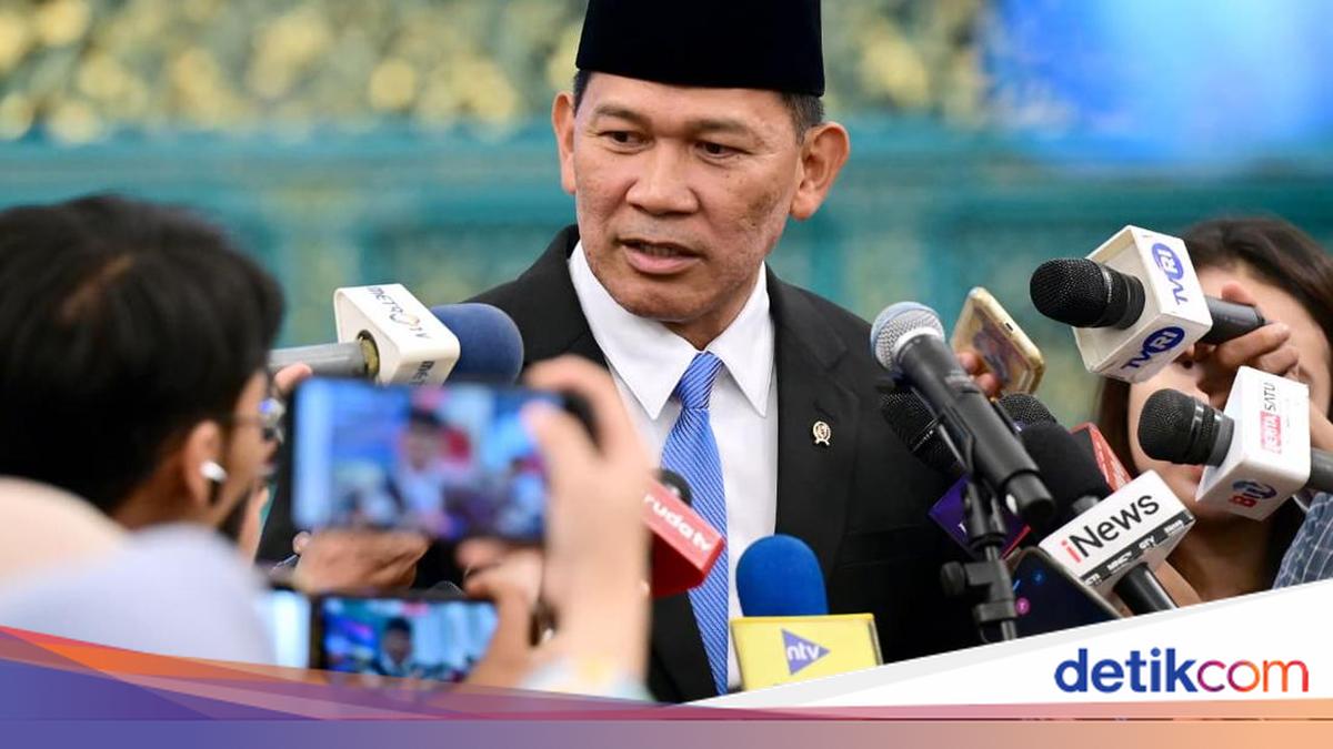
BNPB chief Lt Gen Kristomei Sianturi said he would calculate the area affected by forest and land fires using satellite data. He said the calculation was intended to establish the actual facts and figures.
Kristomei made the statement in response to a question about BNPB’s estimate that around 600 hectares had been affected by the fires. Meanwhile, photographs circulating on social media purportedly showed NASA satellite data indicating that the impact had spread further.
“I have said that I will carry out a full review. First, I will check the data and facts currently available from satellite sources,” Kristomei said after being sworn in by President Prabowo Subianto at the State Palace in Jakarta on Thursday, 15 October 2026.
Kristomei said BNPB would use satellite data from SiPongi and NASA to check the area affected by the fires. The results of the calculation would be made public, he said.
“For example, there is SiPongi, and then there are the results of NASA monitoring. How large is the area that has actually burned? That can be calculated. We will also assess the impact and then announce it,” he said.
Kristomei said the most important task at present was to prevent loss of life from the fires. He said he wanted to ensure that no one was killed as a result of their impact.
“The most important thing is to make sure there are no casualties. That comes first. Whatever the fire or disaster, our main task must be to ensure that no one is killed. That is our number one priority,” he added.
Source: jawawa.id (https://jawawa.id/newsitem/bnpb-chief-to-calculate-forest-and-land-fire-area-using-sipongi-and-nasa-satellite-data-1792072280)
Originally published by detikcom (https://news.detik.com/berita/d-8709055/kepala-bnpb-bakal-hitung-luas-karhutla-dari-satelit-sipongi-dan-nasa), translated from Indonesian