
BNPB: Burned Land Area in Riau Reaches 15,000 Hectares
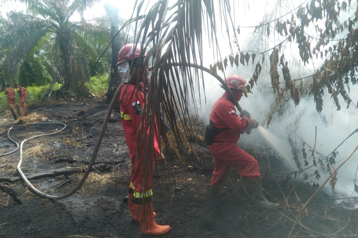
Jakarta (ANTARA) - The accumulated area of forest and land fires (karhutla) in Riau Province has surpassed 15,031.58 hectares, as reported by the National Disaster Management Agency (BNPB) on Tuesday.
Abdul Muhari, Head of the BNPB Disaster Data, Information, and Communication Centre, stated in a report received in Jakarta that the total burnt area was recorded between 1 January and June. This situation has positioned Riau as one of the national priority regions for forest fire control.
“Riau Province, one of the priority provinces for forest fires, was reported as of Monday (1/6) to have a total burnt land area of 15,031.58 hectares since 1 January to 1 June 2026,” he said.
According to him, referring to official data from the Ministry of Forestry’s Sipongi application, the increase in detected fire areas continues to occur fluctuatngly across several regencies in Riau.
Furthermore, recent fires have destroyed 44.4 hectares in Dusun Sejati, Rantau Bais, Tanah Putih District, Rokan Hilir Regency, as well as one hectare in Kandis Kota, Siak Regency.
Responding to the potential risks, he added that the BNPB is intensifying appeals to the general public to remain vigilant, particularly when facing weather threats during the transition from the rainy season to the dry season, amidst atmospheric dynamics as reported by the Meteorology, Climatology, and Geophysics Agency (BMKG).