
BNPB aerial survey maps landscape of earthquake-affected areas in NTT
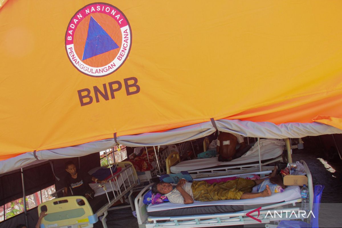
The National Disaster Management Agency (BNPB) has conducted an aerial survey to map the landscape of areas affected by the 7.7 magnitude earthquake in East Nusa Tenggara (NTT), while also validating the potential impact of the tsunami and mapping logistics distribution routes.
BNPB Deputy for Prevention Abdul Muhari said in Jakarta on Wednesday that the aerial monitoring using a helicopter was carried out by sweeping the northern coastal areas from Labuan Bajo in West Manggarai, Manggarai, East Manggarai, Ngada, to Nagekeo.
“We have completed the mapping. We departed from Labuan Bajo, then along the northern coast, West Manggarai, Manggarai, East Manggarai, Ngada, to Nagekeo,” he said.
Abdul explained that based on visual observations from the air, the tsunami impact following the 7.7 magnitude earthquake was generally categorised as minor and did not strike residential areas extensively.
Tsunami inundation in the form of a spread was only identified at two points, namely in the Riung area and the border between Riung and Nagekeo, where the area is generally used by residents as fish ponds, so the impact was not significant for the community.
In addition to validating the tsunami impact, the aerial survey, which flew at an altitude of 25 to 30 metres, was also intended to document damage and identify dropping zones for residents living on hilltops.
The alternative of distributing aid by air is the BNPB’s primary choice given that access to isolated settlements in the hills cannot be reached using land logistics transport fleets.
Abdul assured that the results of the aerial survey will be strengthened with ground surveys to optimise mapping of building damage and accelerate logistics distribution to hard-to-reach affected areas.
Source: jawawa.id (https://jawawa.id/newsitem/bnpb-aerial-survey-maps-landscape-of-earthquake-affected-areas-in-ntt-1787720008)
Originally published by Antara (Indonesian) (https://www.antaranews.com/berita/5711212/bnpb-survei-udara-petakan-lanskap-wilayah-terdampak-gempa-ntt), translated from Indonesian