
BMKG Warns of Tropical Cyclone Bavi Impact in Eastern Indonesia
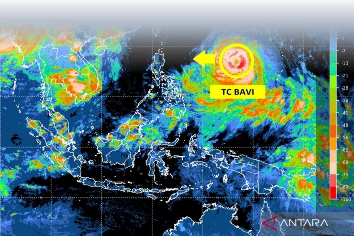
The Indonesian Agency for Meteorology, Climatology and Geophysics (BMKG) has urged the public in eastern Indonesia to be alert to the potential impacts of extreme weather, including strong winds and high sea waves, triggered by the activity of Tropical Cyclone Bavi.
Speaking in Jakarta on Wednesday, the Acting Deputy of Meteorology at BMKG, Andri Ramadhani, stated that the cyclone will bring indirect impacts in the form of strong winds and surges in high sea waves over the next 24 hours.
Andri explained that the centre of the storm’s vortex was detected in the Philippine Sea, specifically north of Papua, with a constant movement towards the west.
Based on BMKG’s weather modelling analysis, the maximum wind speed around the centre of the system is predicted to remain persistent over the next 24 hours, with an intensity categorised at level four.
According to him, these conditions are likely to trigger indirect strong winds on the mainland of four provinces, including North Sulawesi, North Maluku, Southwest Papua, and West Papua, at least until Wednesday (8/7) night.
In addition to strong winds, BMKG has also issued an early warning for moderate high waves, ranging from 1.25 to 2.5 metres, in the Maluku Sea, the North Pacific Ocean near Papua, and the Sangihe to Talaud Islands.
Meanwhile, higher-risk sea waves, categorised as high with heights ranging from 2.5 to 4.0 metres, are projected to potentially occur along the North Pacific Ocean area from Maluku to north of West Papua.