
BMKG Warns of Heavy Rain Potential Due to Tropical Cyclone Mekkhala
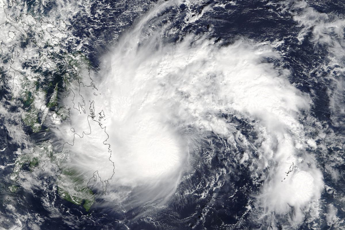
The Meteorology, Climatology and Geophysics Agency (BMKG) has issued an early warning for the public to be aware of the potential for rain of varying intensity in several regions of Indonesia. This condition is triggered by significant atmospheric dynamics, including the influence of Tropical Cyclone Mekkhala and cyclonic circulation.
BMKG forecaster Selly Brilian explained that Tropical Cyclone Mekkhala is currently observed in the Pacific Ocean east of the Philippines. The system has a minimum pressure of around 970 hectopascals with maximum wind speeds reaching 70 knots, and is moving west to northwest.
“The system forms convergence and confluence areas that extend in the Pacific Ocean east of the Philippines and around the circulation,” Selly said in a weather forecast broadcast in Jakarta, Monday (22/6).
In addition to the tropical cyclone, BMKG is also monitoring a cyclonic circulation predicted to form in the Makassar Strait. This phenomenon triggers the formation of convergence (wind meeting) and confluence areas in the region, which impacts the increased growth of rain clouds.
The combination of these atmospheric dynamics has the potential to increase rainfall around the cyclone area, cyclonic circulation, and along the convergence areas. “Vigilance needs to be increased regarding the potential for moderate to heavy intensity rain in several regions,” Selly stressed.
For eastern Indonesia, light intensity rain is forecast to fall in Denpasar, Mataram, Mamuju, Kendari, Palu, Nabire, Jayapura, Wamena, and Merauke. Meanwhile, clear cloudy to thick cloudy weather conditions are predicted to occur in Kupang, Makassar, Gorontalo, Manado, Ternate, Ambon, Sorong, and Manokwari. Other regions such as Banda Aceh, Yogyakarta, and Banjarmasin are forecast to experience cloudy to thick cloudy conditions.
BMKG urges the public to remain vigilant and continue to monitor the latest weather information developments through official channels, both the BMKG website and social media, to anticipate the possible impacts of extreme weather.