BMKG Warns of Extreme Weather in 18 Areas of Central Java Until Saturday Morning
Extreme weather is still likely to occur in 18 areas of Central Java until Saturday (May 16) morning, and residents are asked to be vigilant against hydrometeorological disasters such as landslides, floods, and tornadoes.
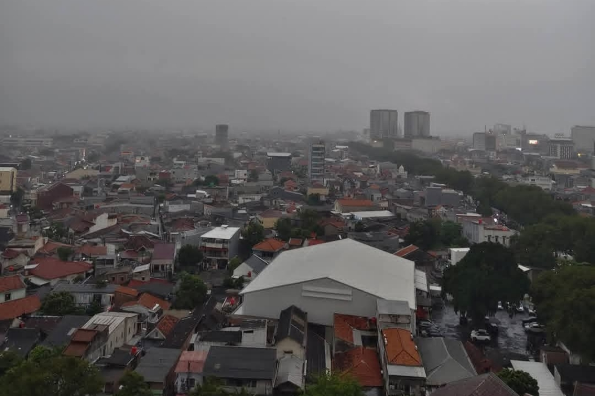
Until Friday (May 15) afternoon, light to moderate rain was still falling in several areas of Central Java, and extreme weather, namely heavy rain accompanied by strong winds and lightning, is likely to occur in 18 areas until Saturday (May 16) morning, namely in mountainous areas, highlands, central Java, Solo Raya, and parts of the northern coastal areas.
“Be aware of hydrometeorological disasters as a result of this extreme weather, especially residents in hilly areas and river basins,” said BMKG forecaster at the Ahmad Yani Meteorological Station, Semarang, Agus Triyono, on Friday (May 15) afternoon.
The areas in Central Java that have the potential for extreme weather, according to Agus Triyono, are Purbalingga, Banjarnegara, Wonosobo, Mungkid, Boyolali, Klaten, Karanganyar, Sragen, Grobogan, Blora, Ungaran, Temanggung, Kajen, Pemalang, Magelang, Salatiga, Tegal, Bumiayu, and Majenang, while other areas are likely to experience light to moderate rain.
According to Agus Triyono, the wind is blowing from the northeast to the southwest at a speed of 3-20 kilometers per hour, the air temperature ranges from 14-30 degrees Celsius, and the air humidity ranges from 75-95 percent.
Forecaster at the Maritim Tanjung Emas Meteorological Station, Semarang, Retna Swasti Karini, said separately that the weather in the northern waters tends to be cloudy with wave heights ranging from 0.5-1.25 meters, while in the southern waters of Central Java, the wave height reaches 1.25-2.5 meters.
“The sea water is starting to recede at night, but people who are active in the waters are asked to be aware of high waves,” said Retna Swasti Karini.
High waves above 1.25 meters, continued Retna Swasti Karini, pose a risk to shipping activities such as fishermen, barges, and passenger and cargo ships when the wind speed is above 15 knots. (AS)