
BMKG Warns of Expanding Tropical Cyclone Bavi Triggering High Winds and Waves
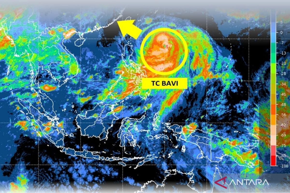
The Meteorology, Climatology and Geophysics Agency (BMKG) has urged communities in eastern Indonesia to remain vigilant against the expanding indirect impacts of Tropical Cyclone Bavi, which is currently moving northwest.
Acting Deputy for Meteorology at BMKG, Andri Ramadhani, stated in Jakarta on Thursday that the cyclone is currently observed in the Philippine Sea, specifically northeast of the Philippines.
“Tropical Cyclone Bavi developed from Tropical Seedling 95W, which reached cyclone intensity on 2 July before entering the monitoring area of TCWC Jakarta on 7 July 2026,” he said.
Based on predictive analysis of the maximum wind speed at the system’s centre over the next 24 hours, he added, it is expected to remain persistent and maintain its Category 4 intensity.
In addition to strong winds on land, this atmospheric dynamic is also affecting national waters by triggering moderate sea waves ranging from 1.25 to 2.5 metres.
BMKG’s public meteorology team has detected that the waters potentially affected by these moderate waves include areas of the Pacific Ocean north of Maluku to north of Papua.
Meanwhile, the threat of more extreme sea waves, categorised as high and ranging from 2.5 to 4.0 metres, is projected to potentially hit the waters of the Maluku Sea and the Sangihe to Talaud Islands.