
BMKG Urges Vigilance Over Significant Weather Impacts Across Indonesia
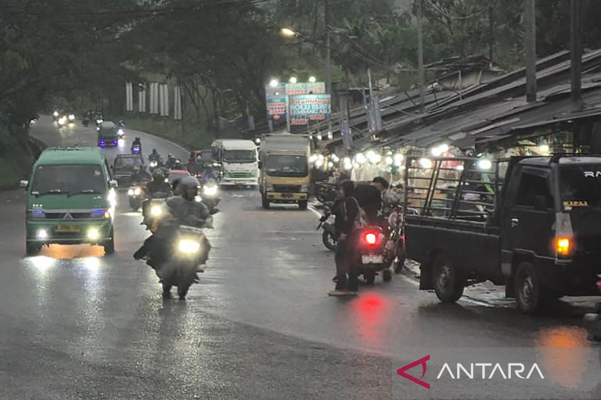
The Meteorology, Climatology and Geophysics Agency (BMKG) has urged vigilance over the impact of convergence and confluence zones forming across parts of Indonesia, which could trigger the growth of rain clouds and significant weather on Friday.
BMKG forecaster Yuyun Wulandari explained in a broadcast that this combination of atmospheric dynamics is influenced by a cyclonic circulation forming in the Pacific Ocean north of Papua. “These atmospheric conditions can increase the potential for rain cloud growth around the cyclonic circulation area and along the convergence and confluence zones,” she said.
Yuyun detailed that areas of wind slowdown, or convergence, have been observed forming in Aceh, West Sumatra, Central Kalimantan to West Kalimantan, Southeast Sulawesi to Central Sulawesi, the Banda Sea, Central Papua to Cenderawasih Bay, and Papua Highlands to Papua. Meanwhile, areas of wind confluence are forecast to stretch across the Java Sea, the Indian Ocean south of East Nusa Tenggara to south of Java, the Banda Sea, the Timor Sea, the Seram Sea, and the Arafura Sea.
For weather forecasts in major cities across western Indonesia, BMKG has called for awareness of potential thunderstorms in Tanjung Selor, and light rain in Banda Aceh, Medan, Padang, Jambi, Serang, Pontianak, Banjarmasin, and Samarinda. Conversely, partly cloudy to overcast conditions are predicted for Pekanbaru, Tanjung Pinang, Bengkulu, Palembang, Pangkal Pinang, Jakarta, Bandung, Semarang, and Palangka Raya, with hazy conditions in Bandar Lampung and Yogyakarta.
In eastern Indonesia, the forecast indicates potential moderate intensity rain in Mamuju and Ambon, and light rain in Makassar, Kendari, Manado, Manokwari, Nabire, Jayapura, Jaya Wijaya, and Merauke. “Meanwhile, the areas of Denpasar, Kupang, Palu, Gorontalo, Ternate, and Sorong are forecast to be overcast, while the Mataram area is predicted to experience smoke or haze,” Yuyun added.